
What is recorded here
Montrath Castle stands as a ruined tower house on a small hillock in Monasset, County Westmeath, where the 1656 Down Survey mapped lands belonging to Geoghan and Keegan families. Only the northeast and southwest angles survive today, rising three to ten metres above ground while ivy smothers the robbed walls and hidden chambers. The castle kept its watch over eastern, southern and western views long before stone decay reduced it to scattered rubble and buried foundations.
The 1656 Down Survey parish map of Rahugh shows a tower house type castle standing on top of a small hillock (NLI p.7384). On this map the lands of ‘Monrath and Monasett’ belonged to ‘Art Mc Hugh Geoghan [Geoghegan], Thomas Geoghan and Conly Keegan’ who are described as Irish papists. On a slight rise of ground with good views from E-S-W. Only the NE (H 3.5m) and SW (H 9-10m) angles of this poorly preserved rectangular tower (int. dims. 8m NNW-SSE; 5.5m ENE-WSW; wall T 1m) house roughly aligned N-S survives upstanding. Most of the E wall has been reduced to low wall footings. The NW angle has collapsed as depicted on the 1910 ed. OS 25-inch map and a pile of rubble (H 1.3m) at this corner probably covers the wall footings of the castle at this angle. Walls are built with random rubble with rounded corners and a prominent base batter most of which has been robbed out. The foundation plinth of this base-batter is visible and projects out 0.2m beyond the face of the wall. The internal faces of the walls have also been robbed out while the rest of the wall faces are obscured by the cover of ivy on the building. At ground floor level in the SW angle are the possible robbed out remains of a chimney flue. No other features visible due to dense cover of ivy. On the 1837 ed. OS 6-inch map the tower house is shown standing on the SW angle of a small rectangular enclosure or field. No surface remains of this enclosure survive.
Compiled by: Caimin O’Brien
Date of upload: 02 August 2013
Montrath Castle was built as a tower house by the MacGeoghegan family in the 17th century and is remembered for its strategic position and association with local Gaelic lordship in County Westmeath.
The monument record does not grant public access. Check the route and ask the landowner before entering private land.
- What survives
- Recorded monument
Places near here
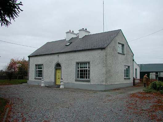 Mayvillehouse · 247 yd
 IndicatedEnclosure · 1349 yd
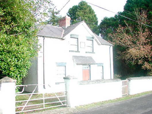 presbytery/parochial/curate's house, building miscpresbytery/parochial/curate's house, building misc · 1480 yd
 CloghstuckArchaeological place · 1611 yd
 Lackan HillMountain / peak · 1.0 mi
 Cruil HillMountain / peak · 1.0 mi
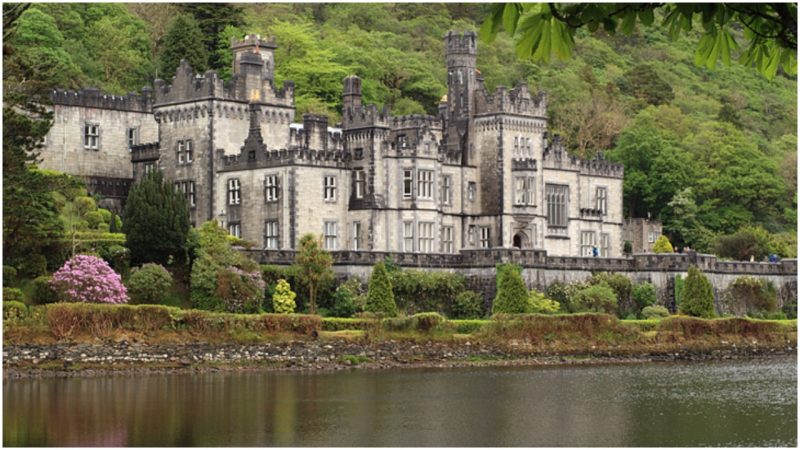 Kiltober CastleCastle, tower house · 1.2 mi
 Kill Castle (ruins)Castle, tower house · 1.6 mi
 Saint Clavin's WellSpring · 1.7 mi
 Ardan WoodWood · 2.4 mi
 Finnrenashark Holy WellSpring · 4.1 mi
 Croghan Hill WalkVisitor information · 4.2 mi
Other information
Photo: Credit not shown in the picture search · Rights wording not checked; contact us if this picture should be removed