What is recorded here
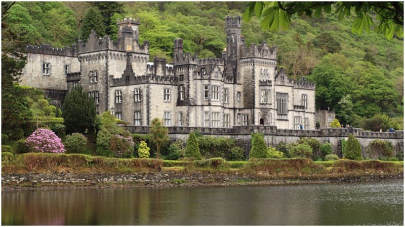
Kiltober Castle stood as a rectangular tower house on a low Westmeath rise until local residents removed the site more than twenty years before 1977. Maps drawn in 1837 and 1910 still show its straight NE side and substantial dimensions, but the stones themselves vanished into pasture memory. What remains is a grass-covered earthwork, smooth and quiet, holding the shape of a building that people chose to erase rather than preserve.
Situated on a low rise, in pasture. Kiltober Castle depicted on the 1837 ed. OS 6-inch map and shown on the revised 1910 ed. OS 25-inch map as a rectangular shaped structure (overall approx. dims. 16m NW-SE; 21m NE-SW) defined by a straight side to NE. Castle site now visible as a grass covered earthwork. Castle site removed more than 20 years ago (local information 27/07/1977). Castle site is visible today as a grass covered earthwork on Digital Globe aerial photography. Not marked on the 1655 Down Survey parish map of Rahugh (NLI, MS 723-4) which in 1640 stood on lands belonging to Rosse Geoghegan who is described as an Irish Papist' (ibid.).
Compiled by Alison McQueen, Vera Rahilly and Caimin O’Brien.
Date of upload: 18 December 2019
Kiltober Castle is believed to have been built in the 17th century by the Butler family, who were prominent landowners in the region. It is remembered as a historic example of a rectangular tower house in a rural setting, reflecting the defensive and social architecture of early modern Ireland.
The monument record does not grant public access. Check the route and ask the landowner before entering private land.
- What survives
- Recorded monument
Places near here
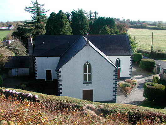 Saint Hugh's Catholic Churchchurch/chapel · 609 yd
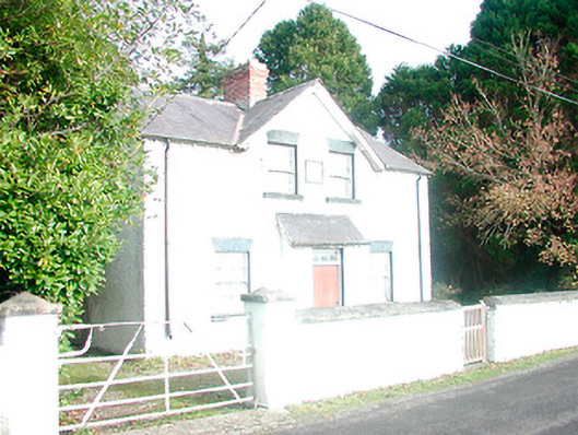 presbytery/parochial/curate's house, building miscpresbytery/parochial/curate's house, building misc · 624 yd
 CloghstuckArchaeological place · 971 yd
 Rahugh MoatCastle, motte and bailey · 1271 yd
 Montrath Castle (in ruins)Castle, tower house · 1.2 mi
 Church (Site of)Church · 1.4 mi
 Ardan WoodWood · 1.5 mi
 Lackan HillMountain / peak · 1.5 mi
 Cruil HillMountain / peak · 1.8 mi
 Bracklin WoodWood · 2.3 mi
 Saint Clavin's WellSpring · 2.3 mi
 St. Columba's WellSpring · 4.6 mi
Other information
Photo: Credit not shown in the picture search · Rights wording not checked; contact us if this picture should be removed