What is recorded here
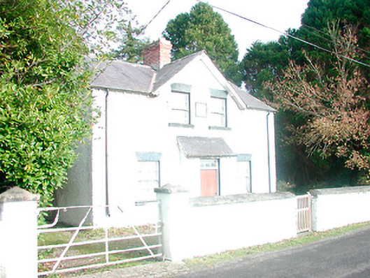
Detached three-bay two-storey structure, built c.1880, having a two-bay gable-fronted section and a projecting single-bay single-storey porch having a mono-pitched natural slate roof over to the centre of the entrance facade (south). Now in use as a community centre. Pitched natural slate roof with bracketed eaves, a central red brick chimneystack and cast-iron rainwater goods. Roughcast rendered walls with square-headed window openings having cut limestone sills and six-over-six pane timber sliding sash windows. Square-headed doorway to projecting porch having a timber sheeted door with a three-paned overlight over. Cut stone date plaque over projecting porch (not read). Set back from road in own grounds with a rendered boundary wall and a pair of rendered gate piers (on square-plan), supporting a wrought-iron gate, to the road-frontage. Located adjacent to the east of Rahugh Roman Catholic church (15403823) and to the south of Tyrrellspass.
An appealing and well-balanced building, which retains its original form, historic character and early fabric. The form of this building suggests that it was built for a community purpose. Its form is reminiscent of a late nineteenth-century school master’s house (possibly associated with Rahugh School (not in survey) located a short distance to the west). However, its position adjacent to Rahugh Roman Catholic church suggests that it may have been built as a parochial house. It remains in community use following conversion to a community centre in recent years. This unassuming building is integral part of the architectural heritage of the Rahugh, adding to the historic veneer of the rural landscape of south Westmeath. The simple wrought-iron gate and rendered boundary wall add to the setting of this attractive small-scale building.
This does not grant access. Most recorded buildings are privately owned; view them only from public ground unless the owner allows entry.
Places near here
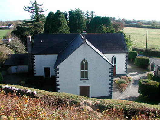 Saint Hugh's Catholic Churchchurch/chapel · 26 yd
 CloghstuckArchaeological place · 552 yd
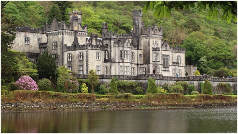 Kiltober CastleCastle, tower house · 624 yd
 Montrath Castle (in ruins)Castle, tower house · 1480 yd
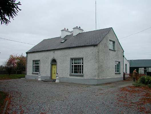 Mayvillehouse · 1654 yd
 Lackan HillMountain / peak · 1.4 mi
 StructureStructure, peatland · 1.6 mi
 Cruil HillMountain / peak · 1.6 mi
 Ardan WoodWood · 1.6 mi
 Saint Clavin's WellSpring · 2.2 mi
 Bracklin WoodWood · 2.6 mi
 St. Columba's WellSpring · 4.9 mi
Other information
Photo: National Inventory of Architectural Heritage · Website use allowed for educational or private purposes with source credit