What is recorded here
Enclosure in Moyle Big is a circular ditched site about fifty-seven metres across, hidden beneath tillage soil near Kellistown East in County Carlow. It has no obvious entrance, suggesting exclusion, ceremony or deliberate boundary rather than ordinary domestic use. The nearby church and graveyard give the place a long shadow of human attention, while the missing entrance keeps it withholding its full meaning.
Located in a relatively level location (c. 88m OD) in a gently undulating landscape characterised by tillage and pastoral farming. Sited towards the S boundary of a field currently in use for tillage purposes (July 2022). Located c. 1.75ms W\WNW of a church (CW008-038001-) and associated graveyard (CW008-038006-) at Kellistown East, and c. 780m ESE of a possible large enclosure (CW007-183----) at Rathcrogue that survives as a cropmark (Google Earth June 2018). This enclosure at Moyle Big is clearly visible as a cropmark on Google Earth aerial photograph of the site (March 2019). It consists of a circular feature (ext. dims c. 57.24m N-S x 56.6m E-W) that is defined by a continuous ditch (Wth c. 3.4m to SE; c. 5.1m to S) that is visible around the entire circuit of the site on the above imagery (March 2019). No definitive evidence for an entrance gap.
Compiled by: T.J. O'Meara based on details provided by Jean-Charles Caillère
Uploaded on: 12/07/2023
See attached:
CW007-187----_01 Google Earth Aerial\Satellite Imagery (date: 28/03/2019)
CW007-187----_02 Google Earth Aerial\Satellite Imagery (date: 11/08/2022)
The monument record does not grant public access. Check the route and ask the landowner before entering private land.
- What survives
- Recorded monument
Places near here
 Enclosure in Kellistown WestEnclosure · 703 yd
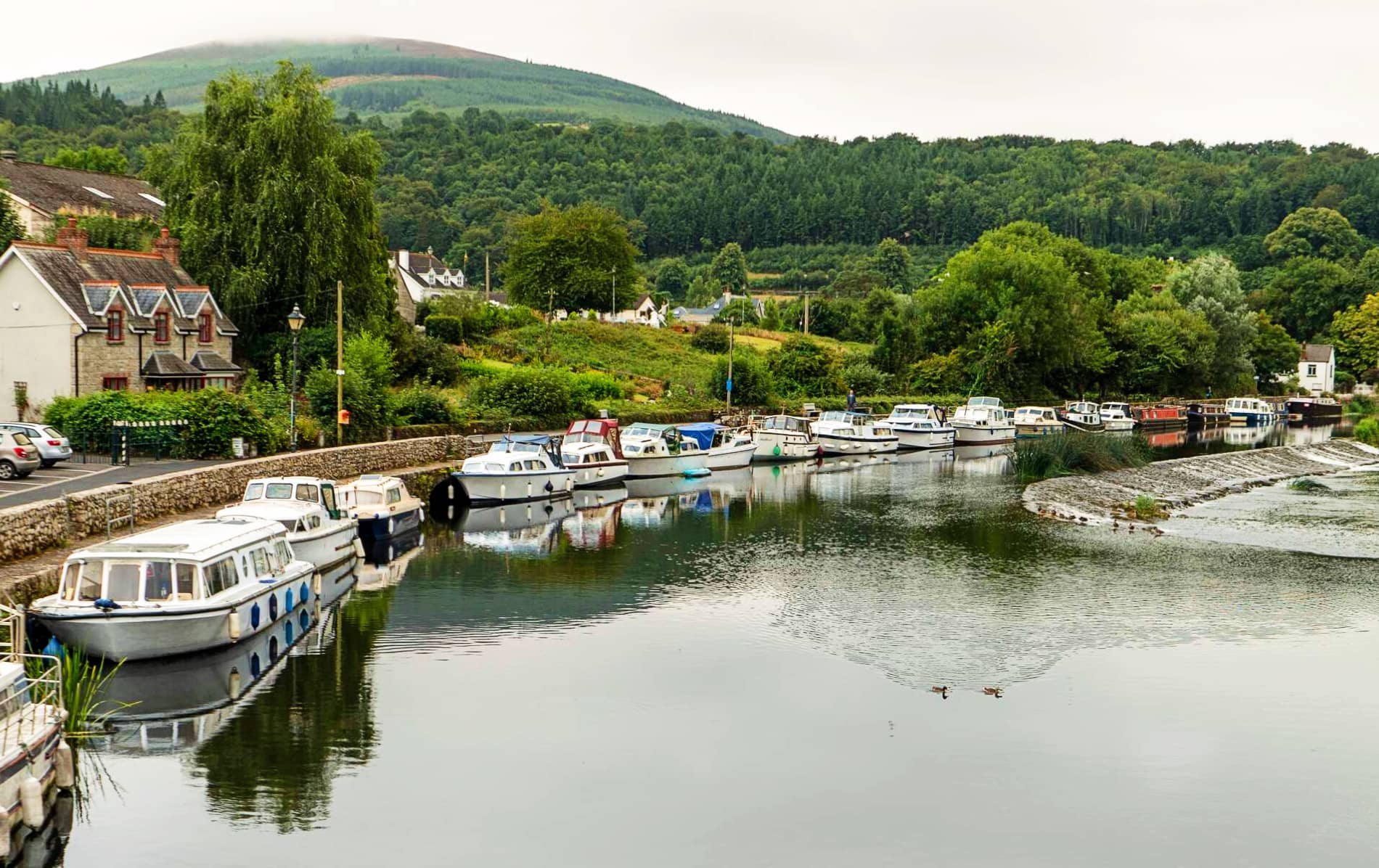 IndicatedEnclosure, large enclosure · 847 yd
 Site of CastleCastle, unclassified · 933 yd
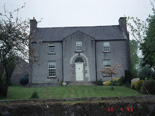 Green Househouse · 991 yd
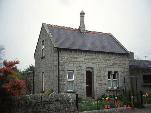 Moylegate lodge · 1402 yd
 Pedunculate OakPedunculate Oak · 1.0 mi
 Graigue Castle in ruinsCastle, unclassified · 1.8 mi
 Kilmurry Church (in ruins), GraveyardChurch · 1.9 mi
 Church (in ruins), GraveyardChurch · 2.6 mi
 Brownshill Portal TombVisitor information · 2.9 mi
 White willowWhite willow · 4.0 mi
 Carlow County MuseumMuseum · 4.0 mi