What is recorded here
In tillage. A large circular enclosure (overall diam. c. 170m) defined by a fosse, visible on satellite imagery (Google Earth satellite image, imagery date 25 June 2018), identified and reported by Jean-Charles Caillère. On the 1st (c. 1840) ed. OS 6-inch map it is depicted as a largely curvilinear field defined by a…
Read the whole record
From the National Monuments Service (Archaeological Survey of Ireland) record CW007-183
Places near here
Photo credits
- Maker not stated on source page, www.dreamstime.com
- Maker not stated on source page, www.discoverireland.ie
- National Inventory of Architectural Heritage
- Cuala GAC (publisher); individual photographer not named, cualagaa.ie
- Maker not stated on source page, www.alamy.com
- Maker not stated on source page, www.pinterest.com
- Algirdas at Lithuanian Wikipedia, Wikimedia Commons · Public domain
- liam murphy, Geograph · Creative Commons Attribution-ShareAlike 2.0
- Maker not stated on source page, hu.pinterest.com
 Flat cemetery in RathcrogueFlat cemetery · 472 yd
Explorer Tom Flat cemetery in Rathcrogue is flat like a pancake left out in the rain. They found some shallow pits there before the…
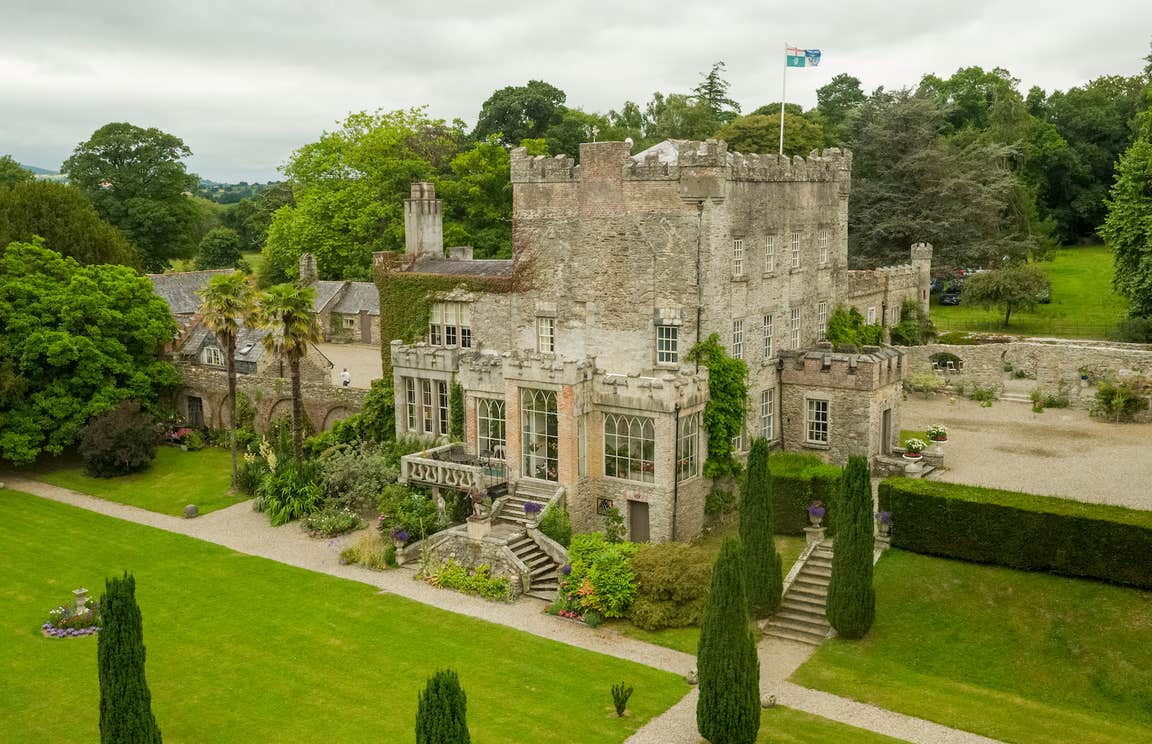 CastleCastle, unclassified · 625 yd
Explorer Tom The tower near Rathcrogue House has no visible trace, so it's probably hiding from reality TV cameras. It would cope…
 Green HouseHouse · 794 yd
Explorer Tom Green House in Castletown is showing off its fancy 1725 pediment like it hasn't been renovated since the nineties. I…
 Rathcrogue HouseHouse · 922 yd
Explorer Tom Rathcrogue House is throwing a party that started in 1780 and never ended, with a pedimented bay winking at every…
 Tinryland GAA ClubGAA ground · 1048 yd
Explorer Tom Tinryland’s Rathcrogue pitch has given Carlow football supporters plenty of years to practise cheering and arguing in…
 Castletown CastleCastle, tower house · 1418 yd
Explorer Tom Castletown Castle is an eighteenth-century house with Gothic pretensions, wrapping itself in old tower-house leftovers…
 Flat cemetery in TinrilandFlat cemetery · 1434 yd
Explorer Tom Flat cemetery in Tinriland had a token burial, which sounds like a discount bin at a supermarket. They found some…
 Pedunculate Oak1451 yd
Explorer Tom This Pedunculate Oak in County Carlow gave up coffee for Lent because it was getting too jittery. It's now just…
 Littlemoyle HouseFarm house · 1.0 mi
Explorer Tom Littlemoyle House is describing the 1800s to a teenager by saying 'we had no heating, just vibes'. It’s a ruined…
 Kilmeany HouseHouse · 1.2 mi
Explorer Tom Kilmeany House is pretending to be fancy with its granite doorcase, but it’s really just two lads betting on who could…
 Grave YardGraveyard · 1.9 mi
Explorer Tom Graveyard in Ballinacarrig has a retirement plan: sit on the slope, drink tea, and ignore everyone who wants to talk…
 Quinagh GraveyardBurial ground · 2.2 mi
Explorer Tom Quinagh Graveyard has a stone cross in the middle that looks like it’s waiting for its cue to speak up. It’s been…
More archaeology and monuments in County Carlow · All of County Carlow

What do you know about this place?Tap to add a comment or ask a question