On a NE-facing slope in undulating terrain. A road runs E-W along the N side of the graveyard. The only entrance is via a double stile of granite steps projecting from the N boundary wall. This boundary is earthen and faced with granite externally. There is a church (CW007-025----) located S of centre in the graveyard. On the 1st (1840) ed. OS 6-inch map the graveyard is depicted as a roughly rectangular area (dims. c. 63m N-S; c. 52m E-W) with a small tree plantation to the E and trees growing around the edge of the graveyard from SW-N. The medieval church is outlined as a dashed line. A later building indicated as ‘Tomb’ on the 1st ed. map is depicted S of and parallel to the church. On the revised OS 6-inch map the graveyard is indicated as an area within a slightly larger rectangular enclosure. This area is defined by quite a substantial earthen bank (int. H 1.05m; ext. H 0.65m; Wth at top 0.8m; overall Wth 3m). The enclosing rectangular enclosure to the S and W is defined by an earthen field boundary. Beech trees, now mature, were planted along the S and W sides between the two banks, and along the N boundary. The majority of visible headstones and iron cross markers in the graveyard date to the 18th and 19th century. There are quite a number of small boulders which also appear to be indicating burials. The last burial in the graveyard was in 2007. A carved stone head (CW007-167----) found in the graveyard is now in Carlow County Museum.
On a NE-facing slope in undulating terrain. A road runs E-W along the N side of the graveyard. The only entrance is via a double stile of granite steps projecting from the N boundary wall. This boundary is earthen and faced with granite externally. There is a church (CW007-025----) located S of centre in the graveyard. On the 1st (1840) ed. OS 6-inch map the graveyard is depicted as a roughly rectangular area…
Pictures: National Inventory of Architectural Heritage; Nico Kaiser, Wikimedia Commons · CC BY 2.0; Jacknow, Wikimedia Commons · CC BY-SA 4.0; Elliot Tucker, Wikimedia Commons · CC BY-SA 4.0; Smirkybec, Wikimedia Commons · CC BY-SA 4.0; Burkhard Mücke, Wikimedia Commons · CC BY-SA 4.0; VisionsofthePast, Wikimedia Commons · CC BY-SA 4.0; Algirdas at Lithuanian Wikipedia, Wikimedia Commons · Public domain; A.-K. D., Wikimedia Commons · CC BY-SA 4.0; Ian Rob, Geograph · CC BY-SA 2.0; liam murphy, Geograph · CC BY-SA 2.0

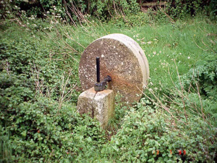 culm crusher559 yd
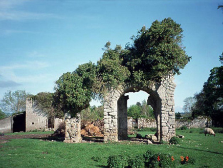 Staplestown TurretsCountry house · 955 yd
 Courthouse in CarlowCourthouse · 1.2 mi
 Portal tomb in KernanstownPortal tomb · 1.4 mi
 Brownshill Portal TombVisitor information · 1.5 mi
 Carlow County MuseumMuseum · 1.6 mi
 White willow1.8 mi
 CastleCastle, Anglo-Norman masonry castle · 1.9 mi
 Pedunculate Oak2.1 mi
 Clogrenan CastleCastle, tower house · 2.9 mi
 Killeshin ChurchVisitor information · 4.7 mi
 Church (in ruins), GraveyardChurch · 4.7 mi
What do you know about this place?