
What is recorded here
From the National Monuments Service (Archaeological Survey of Ireland) record CW007-035001
Places near here
Photo credits
- Maker not stated on source page, www.discoverireland.ie
- liam murphy, Geograph · Creative Commons Attribution-ShareAlike 2.0
- National Inventory of Architectural Heritage
- Maker not stated on source page, www.360cities.net
- Maker not stated on source page, www.live95fm.ie
- Maker not stated on source page, jjkavanagh.ie
- Maker not stated on source page, commons.wikimedia.org
- Jonathan Billinger, Wikimedia Commons · CC BY-SA 2.0
- Smirkybec, Wikimedia Commons · CC BY-SA 4.0
- Maker not stated on source page, ru.pinterest.com
- Age Bosma, Wikimedia Commons · CC BY-SA 3.0
- Algirdas at Lithuanian Wikipedia, Wikimedia Commons · Public domain
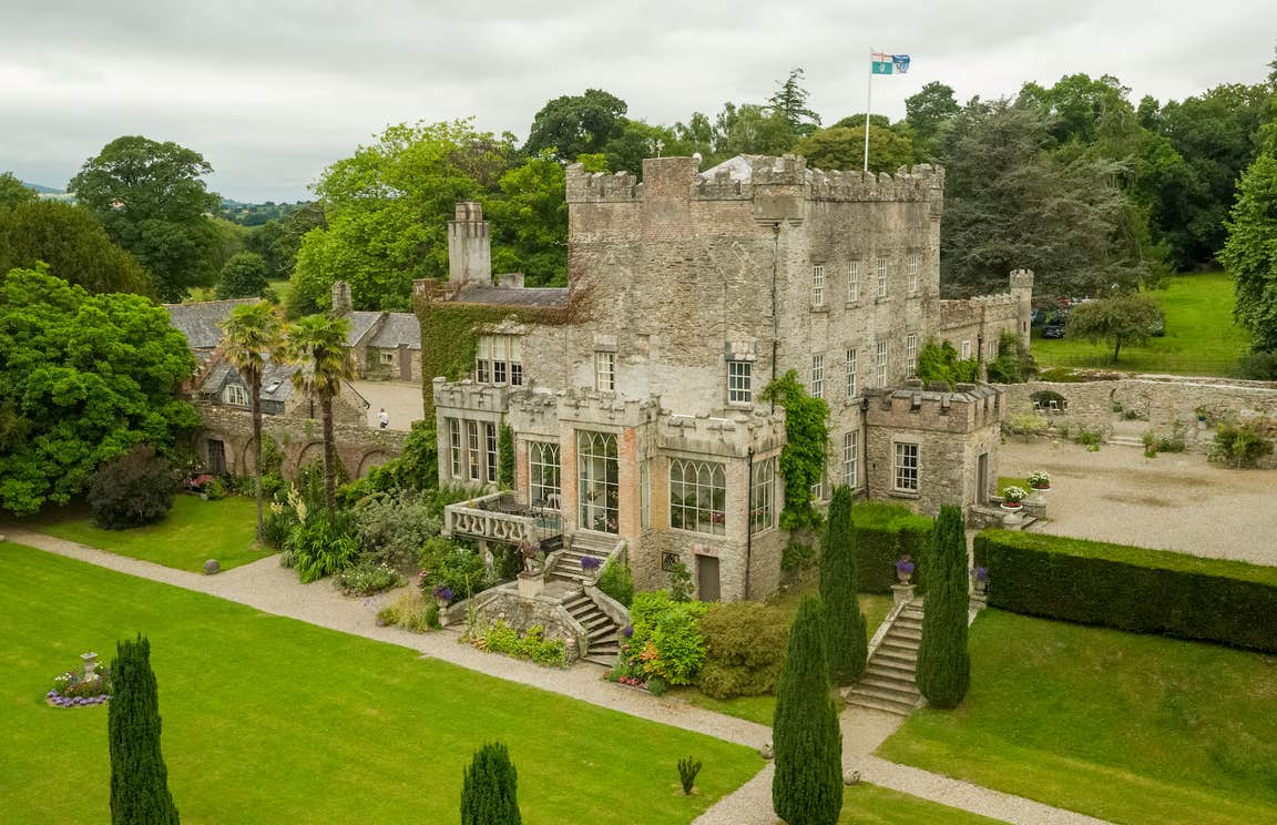 CastleCastle, unclassified · 1066 yd
Explorer Tom Park Castle was recorded as 'decayed' back in 1650, so it’s been resting on its laurels ever since. I bet if it went to…
 Grave YardGraveyard · 1488 yd
Explorer Tom Graveyard in Ballinacarrig has a retirement plan: sit on the slope, drink tea, and ignore everyone who wants to talk…
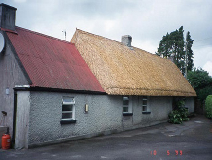 farm house1.1 mi
Explorer Tom The Farm house in Mortarstown Upper is a thatched cottage from 1855 that got re-thatched in 1998 because it was getting…
 Enclosure in StaplestownEnclosure · 1.1 mi
Explorer Tom Enclosure in Staplestown is circular and I bet the bargain that built it was 'two loaves of bread for a hole.' It looks…
 Bridge in Ballinacarrig,chapelstown,staplestownBridge · 1.1 mi
Explorer Tom Bridge in Ballinacarrig, Chapelstown, Staplestown gets picked on by the wind because it’s too new and arrogant about…
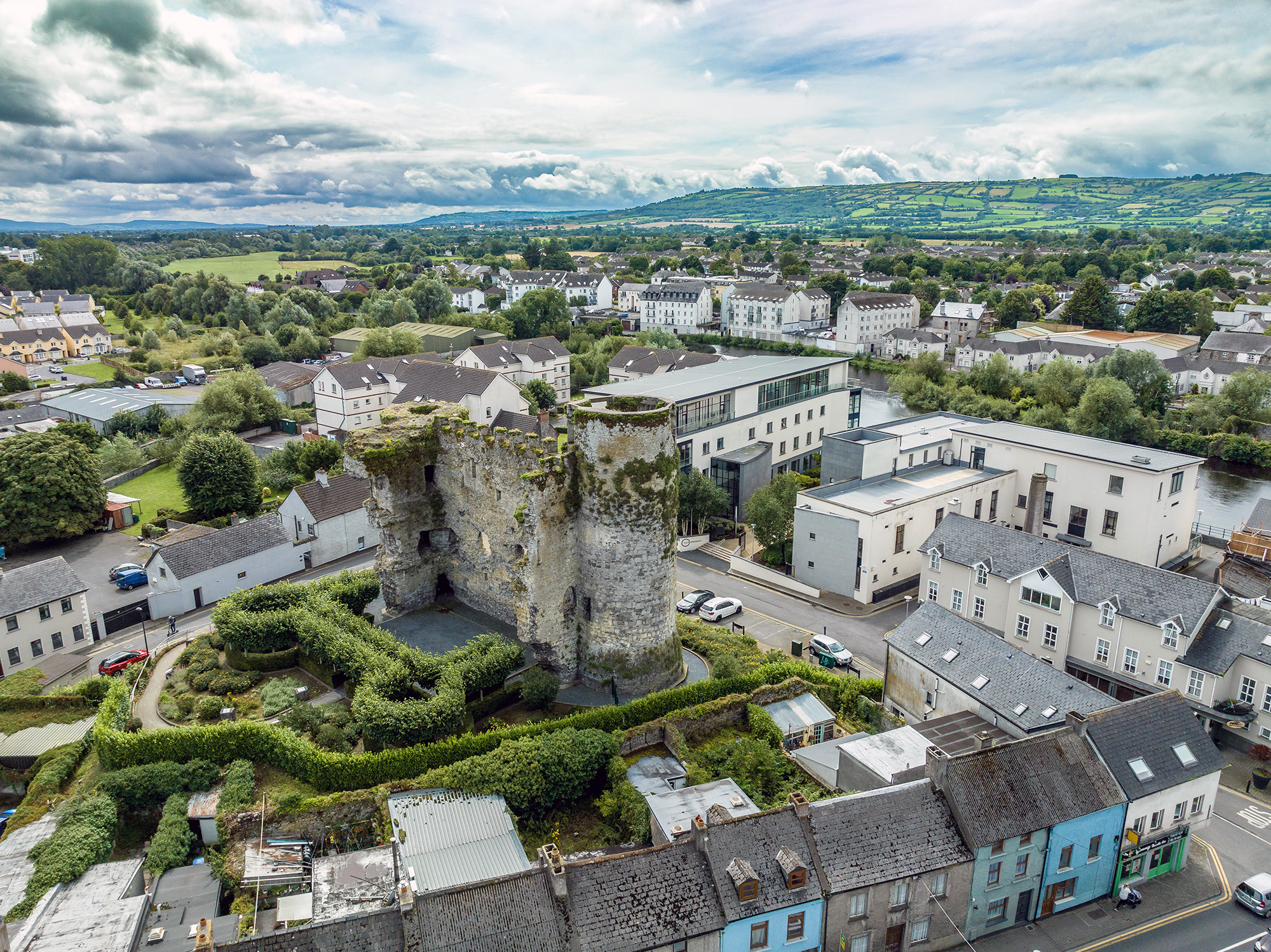 Marked as White CastleCastle, tower house · 1.3 mi
Explorer Tom Marked as White Castle is white on paper, which is a bold claim for a building that might not exist. Its fan club is…
 Flat cemetery in Ballybar LowerFlat cemetery · 1.6 mi
Explorer Tom Flat cemetery in Ballybar Lower had some token burials recorded before the road went up. It would complain to the…
 Battle of CarlowBattle · 1.7 mi
Explorer Tom Battle of Carlow in County Carlow nearly became famous for having nothing happen at all, which is quite the…
 Carlow County MuseumMuseum · 1.8 mi
Explorer Tom Carlow County Museum has a six-metre cathedral pulpit, an ancient squid and a soldier's smoking pipe under one roof…
 Presentation Convent GraveyardGraveyard · 1.8 mi
Explorer Tom Presentation Convent Graveyard would be the person at a wedding who stands in the corner judging everyone’s haircuts.…
 Carlow CastleRuined medieval castle · 1.9 mi
Explorer Tom Carlow Castle is a thirteenth-century ruin that probably thinks it's way more impressive than it actually is right now.…
 Pedunculate Oak2.1 mi
Explorer Tom The wind keeps picking on this Pedunculate Oak because it thinks the tree is showing off its leaves. It’s been standing…
More archaeology and monuments in County Carlow · All of County Carlow

What do you know about this place?Tap to add a comment or ask a question