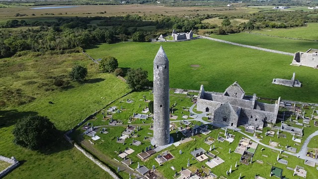
What is recorded here
Burial Gd occupies the northeast quadrant of a ringfort in County Cork, marking a rectangular space fifteen metres long and ten metres wide where grave stones still outline the dead. The fort likely served as a regional centre of power, meaning the buried people may have held rank, skill or simply belonged to the local community. Their names are lost, but the stones preserve the fact that they lived, died and were judged worth remembering beside the living settlement.
In NE quadrant of ringfort (CO132-047001-). Roughly rectangular area (15m N-S; 10m E-W) defined by grave markers.
The above description is derived from the published 'Archaeological Inventory of County Cork. Volume 1: West Cork' (Dublin: Stationery Office, 1992). In certain instances the entries have been revised and updated in the light of recent research.
Date of upload/revision: 14 January 2009
A rectangular prehistoric burial group, likely Middle to Late Bronze Age, associated with a ringfort; its significance lies in its spatial relationship to a settlement, suggesting ritual or social connections between domestic and funerary practices.
The monument record does not grant public access. Check the route and ask the landowner before entering private land.
- What survives
- Recorded monument
Places near here
 Man-made underground passage in Carrig (carbery West (w.d.) By.)Man-made underground passage · 450 yd
 Lissangle Castle (Site of)Castle, unclassified · 490 yd
 Cooragannive Burial Gd (Disused)Burial ground · 1355 yd
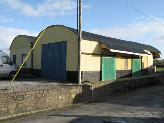 railway stationrailway station · 1509 yd
 Derreeney Housecountry house · 1.0 mi
 Ballyourane Castle (in Ruins)Castle, unclassified · 2.2 mi
 Heritage CentreMuseum · 3.7 mi
 Bishop MahonyMemorial · 3.7 mi
 Mount KidMountain / peak · 4.1 mi
 Wild Atlantic WayVisitor information · 4.1 mi
 Lough HyneVisitor information · 4.8 mi
 Monterey CypressMonterey Cypress · 4.9 mi
Other information
Photo: Credit not shown in the picture search · Rights wording not checked; contact us if this picture should be removed