What is recorded here
In improved pasture, with regeneration of rushes, on a W-facing slope. Circular area (dims. 6m N-S; 5.25m E-W) defined by a very shallow fosse (Wth 1.75m; D 0.05m). Cork-Limerick Junction railway line is c. 22m to SE. Identified as a possible ring-barrow on an aerial photograph (OS 2397/8).
Compiled by: Jean Farrelly
Date of upload: 26 August 2011
A ditch barrow, likely dating to the Early Bronze Age. Its significance lies in its association with early burial practices in the region, though its exact cultural or funerary context remains poorly understood.
The monument record does not grant public access. Check the route and ask the landowner before entering private land.
- What survives
- Recorded monument
Places near here
 Enclosure in LissobihaneEnclosure · 422 yd
 LissobihaneFairy fort / earthen ringfort · 908 yd
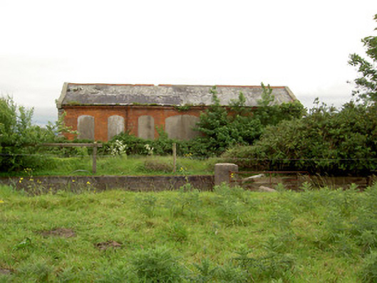 Emly Railway Stationstore/warehouse · 1513 yd
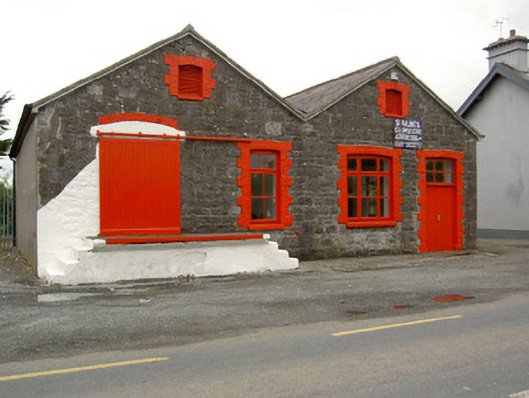 Saint Ailbe's Creamerycreamery · 1599 yd
 Glebe Ho.Castle, unclassified · 1.9 mi
 Carn (site of)Cairn, burial cairn · 2.2 mi
 Site of Castle LoaghnyCastle, unclassified · 2.7 mi
 St Patrick's WellSpring · 4.4 mi
 Saint Patrick's WellSpring · 4.6 mi
 Oola HillMountain / peak · 5.3 mi
 Kilteely HillMountain / peak · 5.3 mi
 Flat cemetery in Knockainy WestFlat cemetery · 5.9 mi