
What is recorded here
Glebe Ho. stood northeast of the Emly Cathedral, an old castle ringed by thatched houses and many cabins when the Civil Survey recorded it. It belongs to the townlands of Emly, Lissobihane, Ballynaveen and Moanmore, where it still haunts the land even though no exact ruin remains visible. The description suggests a busy residential cluster rather than a lonely fortress, perhaps a glebe estate where clergy, tenants and labourers shared one roofline under a wide County Tipperary sky.
Unlocated castle within the townlands of Emly, Lissobihane, Ballynaveen and Moanmore which is depicted on the Down Survey map and which is described in the Civil Survey as 'upon the sd lands ther stands an old castle with two or three thatcht houses & many cabbins' (Simington 1934, vol. 2, 363). The castle depicted on the Down Survey map was located NE of the Cathedral.
Compiled by: Jean Farrelly
Date of upload: 26 August 2011
Glebe Ho was an unlocated medieval castle in the townlands of Emly, Lissobihane, Ballynaveen, and Moanmore, depicted on the 1654 Down Survey map and noted in the Civil Survey of 1656. It is remembered as evidence of early landholding and fortification in the region, though specific builders or occupants are not recorded.
The monument record does not grant public access. Check the route and ask the landowner before entering private land.
- What survives
- Recorded monument
Places near here
 St. Peters WellHoly well · 665 yd
 Enclosure in EmlyEnclosure · 695 yd
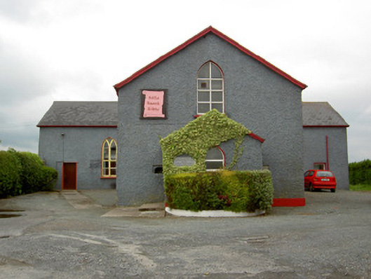 Halla Naomh Ailbhechurch/chapel · 766 yd
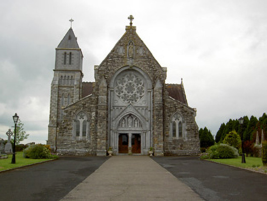 Saint Ailbe's Catholic Churchchurch/chapel · 774 yd
 CastleCastle, motte · 1.7 mi
 Carn (site of)Cairn, burial cairn · 1.9 mi
 Ryves CastleCastle, unclassified · 2.8 mi
 St Patrick's WellSpring · 2.9 mi
 Saint Patrick's WellSpring · 3.5 mi
 Flat cemetery in Knockainy WestFlat cemetery · 4.0 mi
 Kilteely HillMountain / peak · 4.4 mi
 Ballinvreena LoopVisitor information · 5.8 mi
Other information
Photo: Credit not shown in the picture search · Rights wording not checked; contact us if this picture should be removed