What is recorded here
In pasture immediately S of a road that marks the townland boundary with Moanmore and the county boundary with Tipperary and 80m E of a low hill (OD 530 ft.) known locally as 'Knockcarron' [Cnoc an Chairn/Hill of the Cairn]. Depicted as a small circular-shaped earthwork on 1840 ed. OSi 6-inch map. Annotated ‘Carn (site of)’ on 1897 ed. OSi 25-inch map with a quarry located 85m to SW which suggests that the monument was levelled between these map dates. No surface remains visible on Google Earth orthoimages. Folklore collected in 1938 by Art Loftus, a pupil of Emly School recorded the following details about Knockcarron and the levelling of the cairn; 'Knockcarron is a long low hill. It is situated south of Emly on the border of County Tipperary. It is just north of County Limerick. It is the site of the battle of Monmore in 1134 between the O'Conners and the O'Briens. the O'Briens army was across the hill. On the right of the army there was the lake which existed at that time. The O'Brien army was swept eastwards through Monmore, back in the direction of Cashel. On the south side of the hill there stood a cairn, up to a hundred years ago. The stones of the cairn were taken and they were broken & put on the roads. The cairn stood half way between the quarries. Some people say that there was an ancient grave yard & some say that it just happened that there were soldiers buried there after the battle. The older people could show you the different colour on the grass where the people are buried. Men quarrying on the north side of the hill dug up heaps of bones, which were probably there since the battle. The buried them nearby. South of the hill where the dairy house [Creamery] is bones were dug up when they tried to open a pump' (The Schools’ Collection, Volume 0580, Page 108; https://www.duchas.ie/en/cbes/4922298/4868208). See attached Google Earth orthoimage.
From the National Monuments Service (Archaeological Survey of Ireland) record LI041-026
The monument record does not grant public access. Check the route and ask the landowner before entering private land.
- What survives
- Recorded monument
Places near here
 Knockcarron National SchoolSchool · 618 yd
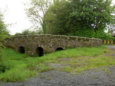 Aughaclareen BridgeBridge · 1.2 mi
 BallyscaddaneGate lodge · 1.3 mi
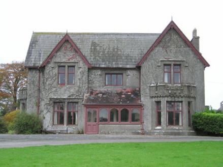 Scarteen HouseCountry house · 1.5 miSaint Patrick's WellSpring · 2.4 miSt Patrick's WellSpring · 2.6 mi
 Castle (in ruins)Castle, tower house · 2.7 mi
 Grave YardGraveyard · 3.9 mi
 Ladys WellHoly well · 4.1 mi
 SlievereaghMountain / peak · 4.7 mi
 CarrigeenamronetyMountain / peak · 11 mi
 Glanworth Castle (in Ruins)Castle, Anglo-Norman masonry castle · 17 mi
Pictures: National Inventory of Architectural Heritage; Mike Searle, Wikimedia Commons · CC BY-SA 2.0; Hywel Williams, Geograph · Creative Commons Attribution-ShareAlike 2.0; Colin Park, Geograph · CC BY-SA 2.0; CaitNi, Wikimedia Commons · CC BY-SA 4.0; Colin Park, Wikimedia Commons · CC BY-SA 2.0
More wrecks and historic events in County Limerick · All of County Limerick
What do you know about this place?