
What is recorded here
In improved, low lying and gently undulating pasture. A semi-circular area (dims. 19m NNW-SSE; 8m ENE-WSW) defined by the remains of a levelled bank (Wth 5.0m; int. H 0.05m; ext. H 0.2m) NNW-N-E and a low bank (Wth 5.3m; int. H 0.2m; ext. H 0.25m) in the SE quadrant. The monument is truncated by a deep drain flanked by a field boundary running NNW-SSE to the WSW. The interior is slightly higher at the centre, falling gently to the drain at the WSW and falling slightly to the base of the bank at ENE. A shallow, linear drain runs WSW-ENE to immediate S.
Compiled by: Jean Farrelly
Date of upload: 26 August 2011
The monument record does not grant public access. Check the route and ask the landowner before entering private land.
- What survives
- Recorded monument
Places near here
 LissobihaneFairy fort / earthen ringfort · 957 yd
 Enclosure in MooresfortEnclosure · 1014 yd
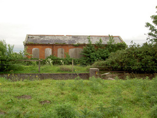 Emly Railway Stationstore/warehouse · 1389 yd
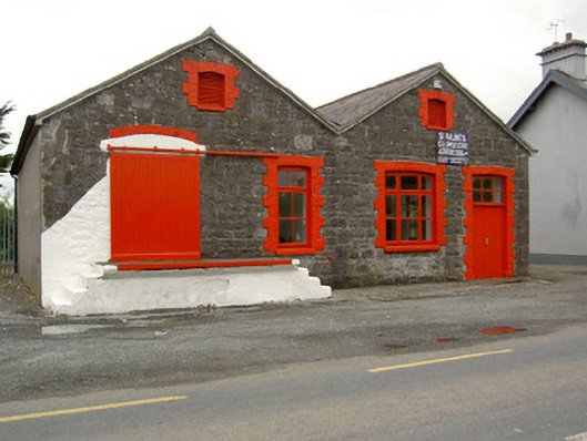 Saint Ailbe's Creamerycreamery · 1.0 mi
 Glebe Ho.Castle, unclassified · 2.0 mi
 Carn (site of)Cairn, burial cairn · 2.0 mi
 Site of Castle LoaghnyCastle, unclassified · 2.9 mi
 St Patrick's WellSpring · 4.3 mi
 Saint Patrick's WellSpring · 4.4 mi
 Oola HillMountain / peak · 5.5 mi
 Kilteely HillMountain / peak · 5.5 mi
 Flat cemetery in Knockainy WestFlat cemetery · 6.0 mi
Other information
Photo: Credit not shown in the picture search · Rights wording not checked; contact us if this picture should be removed