What is recorded here
Fairy fort / ringfort in Killininneen is a fairy fort or ringfort in Killininneen, County Westmeath, Ireland. Situated on a small, round-topped rise in gently undulating pasture, the levelled monument was described in 1971 as a circular-shaped area measuring 25 metres north-south and 20.3 metres east-west. This area was defined by a narrow band of light green grass, 1.2 metres wide, which presumably marks the site of a backfilled fosse and features a 3.4 metre break at the west that may signify the entrance gap.
Situated on a small, round-topped rise, in gently undulating pasture. Killininneen House built on site of Killininneen Castle (WM023-058----) 350m to ENE. Annotated 'Fort' on the 1837 OS Fair Plan map. Levelled monument described in 1971 as circular-shaped area (dims. 25m N-S; 20.3m E-W) defined by a narrow band (Wth 1.2m) of light green grass in stark contrast with the surrounding vegetation. This distinctive band of vegetation presumably marks the site of the backfilled fosse. There is a break (Wth 3.4m) in the band at W which may signify the location of the entrance gap. The interior rises slightly from the perimeter towards the centre. No surface remains visible today of levelled monument on Digital Globe aerial photographs.
Compiled by Alison McQueen, Vera Rahilly and Caimin O’Brien.
Date of upload: 25 July 2019
The monument record does not grant public access. Check the route and ask the landowner before entering private land.
- What survives
- Recorded monument
Places near here
 Killininneen Househouse · 417 yd
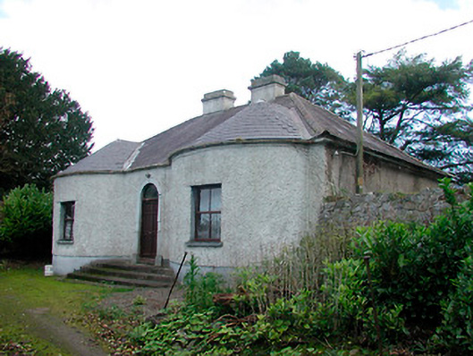 Walderstown Lodgehouse · 884 yd
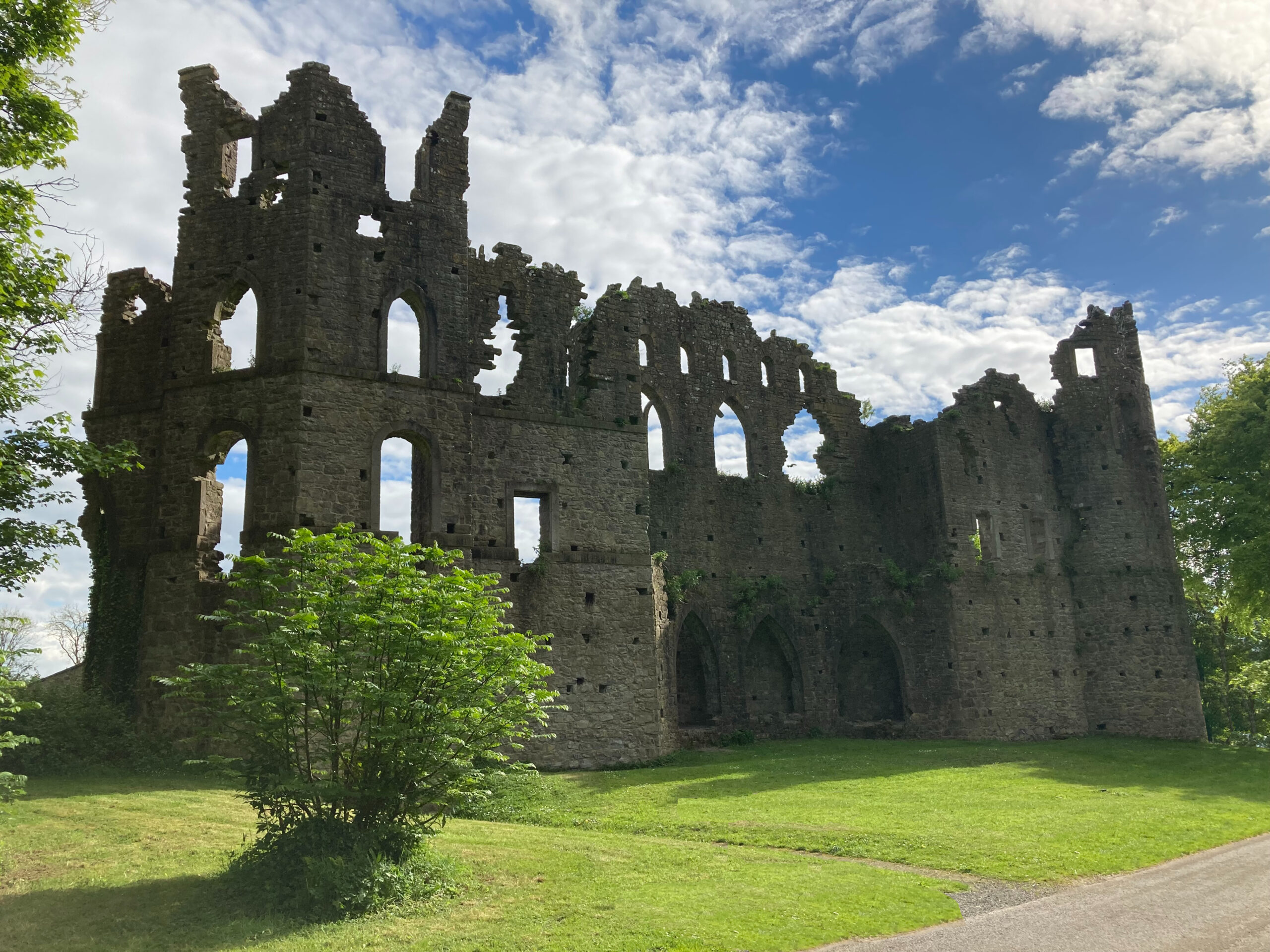 Sterns Folly, The BreenCastle, ringwork · 988 yd
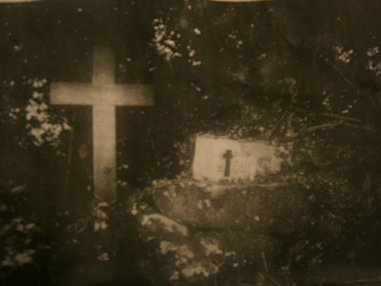 Mass-rock in KillininneenMass-rock · 1032 yd
 IndicatedFairy fort / earthen ringfort · 1450 yd
 Ardnagragh CastleCastle, tower house · 1.1 mi
 Noughaval CemeteryArchaeological place · 3.9 mi
 Dún na Sí Heritage CentreMuseum · 4.7 mi
 Dún na SíMuseum · 4.7 mi
 Temple's IslandIslet · 5.0 mi
 Killinure BayBay · 5.0 mi