
What is recorded here
Situated on a broad hill, in pasture, with good views in all directions. Annotated ‘Ardnagragh Old Castle’ on the 1837 OS Fair Plan map. Depicted on the 1837 ed. OS 6-inch map as a U-shaped building. In 1611 an inquisition into the possessions of Robert Dillon of Cannorstown Castle (WM015-019----) listed Ardnagragh Castle as part of his estate (Cal. inq. post mortem, 5 Jac. I). Castle described in the Ordnance Survey field name books as 'This old castle stands NE by SW and is 60 links [12m] long and 30 links [6m] broad. it is now in ruins'. Castle depicted on the Down Survey Drumraney parish map as a tower house type structure with later two storey high house built onto one side of the castle (NLI, MS 723-4). On this map the castle is shown standing on a hillock on lands belonging to Richard Dillon (ibid.). The cartographic representation closely resembles the OS 6-inch map designation which suggests that this was a multi-period building.
Castle described in 1983 as the ruins of a rectangular-shaped building defined by the remains of the E wall, a short return of the S wall and some mounds of collapsed material. The foundations of the E wall (approx. L 20m N-S) survive along with a short return of the S wall (approx. L 6m; H 2-3m). Immediately to S there is a large irregular-shaped mound of stone. This feature extends to W of the SE corner and is clearly defined along the S edge, probably representing collapse from the former S wall. The structure is crudely built of rubble stone and there are no surviving features of architectural interest. A well-defined L-shaped trench (dims. c. 3.5m N-S; 2m E-W; D 0.5m) is located to W of the upstanding masonry. It does not appear to be directly connected with the castle and may be a relatively modern feature. The area of the castle is traversed by some modern field fences running N-S and E-W, which are not indicated on Ordnance Survey maps.
Compiled by Alison McQueen, Vera Rahilly and Caimin O’Brien.
Date of upload: 24 July 2019
A local castle; wider significance not recorded.
The monument record does not grant public access. Check the route and ask the landowner before entering private land.
- What survives
- Recorded monument
Places near here
 OutlinedHoly well · 503 yd
 Mass-rock in KillininneenMass-rock · 1492 yd
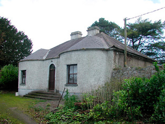 Walderstown Lodgehouse · 1736 yd
 CastleCastle, unclassified · 1.1 mi
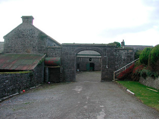 Dorrington Housefarmyard complex · 1.1 mi
 Kilkenny CastleCastle · 1.4 mi
 Noughaval CemeteryArchaeological place · 3.0 mi
 European BeechEuropean Beech · 4.4 mi
 Killinure BayBay · 4.5 mi
 Temple's IslandIslet · 4.6 mi
 Corran IslandIslet · 4.9 mi
Other information
Photo: Credit not shown in the picture search · Rights wording not checked; contact us if this picture should be removed