
What is recorded here
Castle in Dunnamona, County Westmeath, appears as a tower house on the Down Survey map of Drumraney parish, but later surveys found no surface remains. The lost building may still lie beneath rough pasture and levelled ground, waiting for rain or ploughwork to reveal its bones.
Situated in rough pasture with bedrock visible. Castle depicted as a tower house type structure on the Down Survey map of Drumraney parish (NLI, MS 723-4). On this 17th century map the castle is depicted on lands belonging to Garratt and James Dillon (ibid.). Annotated ‘Ruin’ on Larkin's 1808 Map of County Westmeath (NLI, MS 46,580). Possible castle site described in 1978 and 1983 as no surface remains visible. A roughly triangular-shaped area defined by a low scarp from E-S-W-NW and by a laneway from NW-N-E may mark the site of this medieval castle. The scarp may have continued N of the laneway where a large area of ground has been levelled.
Compiled by Alison McQueen, Vera Rahilly and Caimin O’Brien.
Date of upload: 23 July 2019
The monument record does not grant public access. Check the route and ask the landowner before entering private land.
- What survives
- Recorded monument
Places near here
 Enclosure in DunnamonaEnclosure · 392 yd
 CastleCastle, motte and bailey · 603 yd
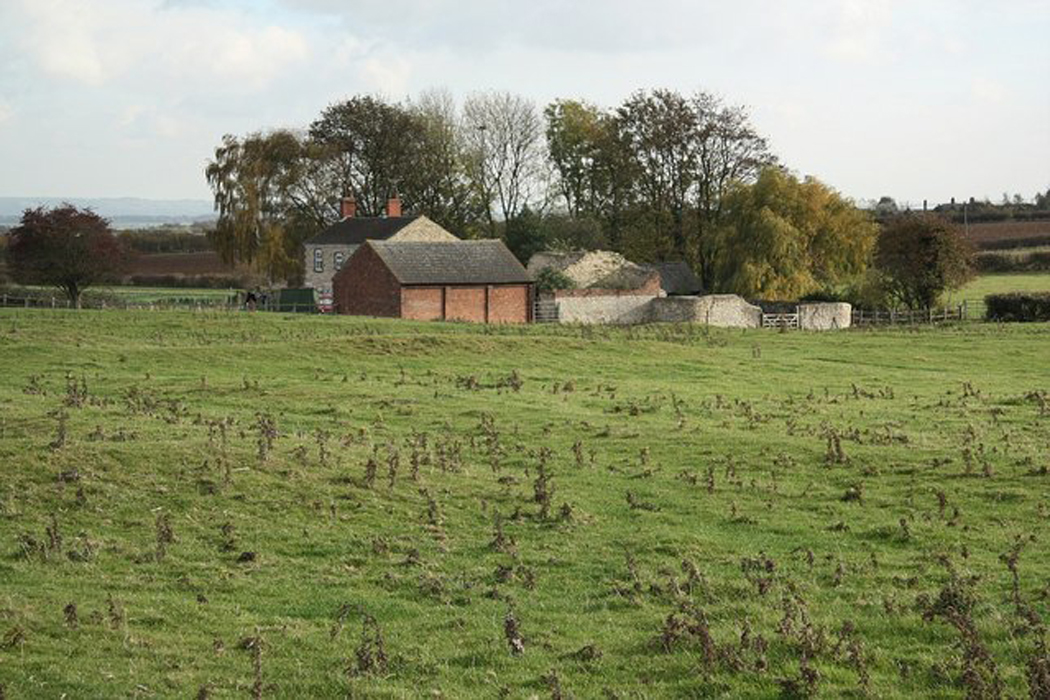 Settlement desertedSettlement deserted, medieval · 1060 yd
 Ardnagragh CastleCastle, tower house · 1.1 mi
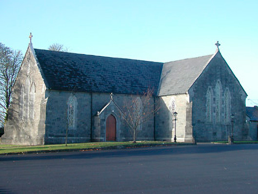 Catholic Church of the Immaculate Conceptionchurch/chapel · 1.5 mi
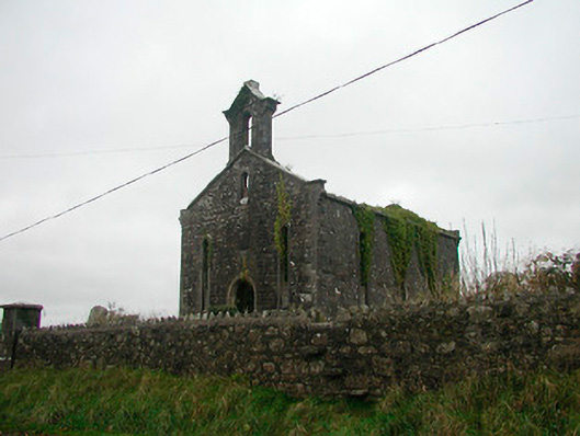 Saint Canice's Church (Kilkenny West)church/chapel · 1.6 mi
 Noughaval CemeteryArchaeological place · 1.9 mi
 European BeechEuropean Beech · 3.4 mi
 Killinure BayBay · 5.1 mi
 Guest ServicesVisitor information · 5.2 mi
 Craft WorkshopHeritage attraction · 5.2 mi
 Target WoodWood · 5.2 mi
Other information
Photo: Credit not shown in the picture search · Rights wording not checked; contact us if this picture should be removed