
What is recorded here
In grassland with motte bailey castle (WM023-013001-) 250m to N, irregular shaped enclosure (WM023-013004-) to WNW. Circular shaped area (approx. diam. 58m) enclosed by a low earthen bank visible on Digital Globe aerial photographs. Linear earthworks (WM023-013002-) in field immediately to N.
See plan of earthworks surveyed and drawn by the ASI
Compiled by: Caimin O'Brien
Date of upload: 23 July 2019
The monument record does not grant public access. Check the route and ask the landowner before entering private land.
- What survives
- Recorded monument
Places near here
 CastleCastle, motte and bailey · 326 yd
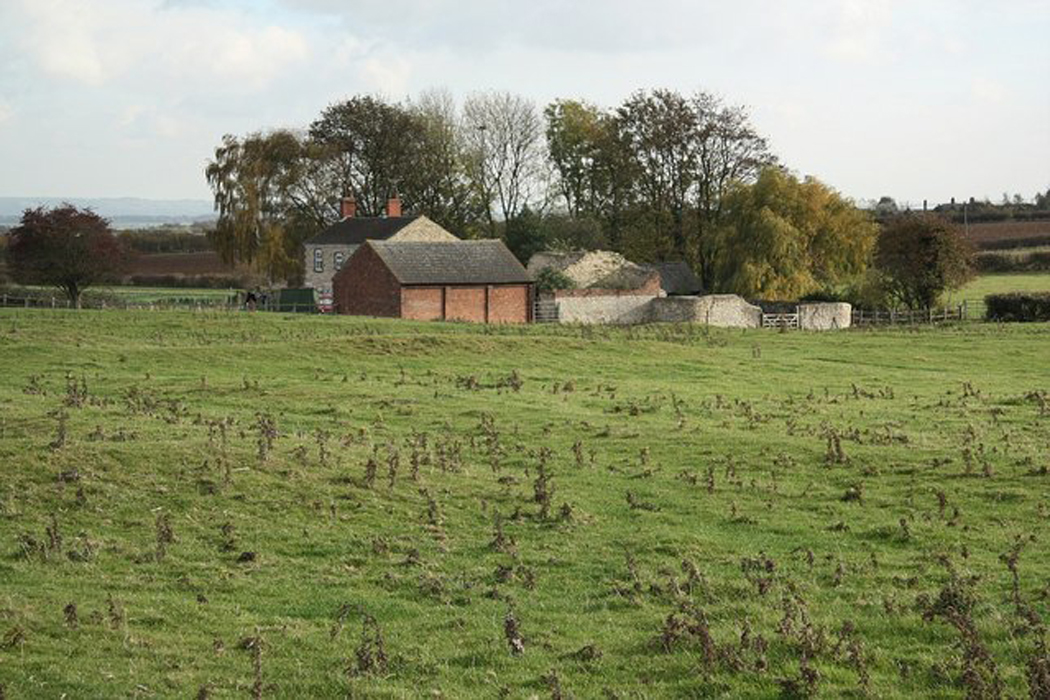 Settlement desertedSettlement deserted, medieval · 775 yd
 Partially hachuredFairy fort / ringfort · 1493 yd
 Ardnagragh CastleCastle, tower house · 1.1 mi
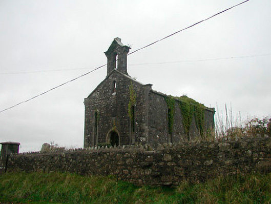 Saint Canice's Church (Kilkenny West)church/chapel · 1.4 mi
 Church in Kilkenny AbbeyChurch · 1.4 mi
 Noughaval CemeteryArchaeological place · 1.9 mi
 European BeechEuropean Beech · 3.4 mi
 Killinure BayBay · 4.9 mi
 Temple's IslandIslet · 5.1 mi
 Guest ServicesVisitor information · 5.2 mi
 Craft WorkshopHeritage attraction · 5.3 mi
Other information
Photo: Credit not shown in the picture search · Rights wording not checked; contact us if this picture should be removed