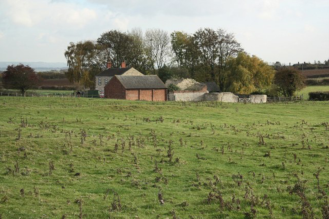
What is recorded here
Situated in low lying, gently undulating, wet pasture, Anglo-Norman motte and bailey castle (WM023-013001-) 190m to SSE. Not depicted on the 1837 OS 6-inch map or the revised 1913 ed. OS 25-inch map. Monument described in 1981 as an extensive system of ridges and depressions which may represent a medieval settlement. Some on the higher and drier ground may be archaeological whilst others on the low lying ground appear to be the remains of drainage features.
Compiled by Alison McQueen, Vera Rahilly and Caimin O’Brien.
Date of upload: 23 July 2019
The monument record does not grant public access. Check the route and ask the landowner before entering private land.
- What survives
- Recorded monument
Places near here
 CastleCastle, motte and bailey · 464 yd
 Enclosure in DunnamonaEnclosure · 775 yd
 Partially hachuredFairy fort / ringfort · 1264 yd
 Ardnagragh CastleCastle, tower house · 1.5 mi
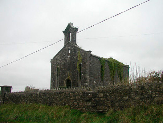 Saint Canice's Church (Kilkenny West)church/chapel · 1.5 mi
 Church in Kilkenny AbbeyChurch · 1.5 mi
 Noughaval CemeteryArchaeological place · 1.5 mi
 European BeechEuropean Beech · 3.0 mi
 Killinure BayBay · 4.9 mi
 Target WoodWood · 5.0 mi
 Guest ServicesVisitor information · 5.0 mi
 Craft WorkshopHeritage attraction · 5.1 mi
Other information
Photo: Credit not shown in the picture search · Rights wording not checked; contact us if this picture should be removed