What is recorded here
Situated on top of a small hillock, overlooking gently undulating demesne parkland, 90m N of Dorrington House. Annotated 'Fort' on the 1837 OS Fair Plan map and depicted as a roughly circular-shaped tree-planted earthwork, possibly a tree-ring on the 1837 ed. OS 6-inch map. Monument described in 1983 as the remains of…
Read the whole record
Situated on top of a small hillock, overlooking gently undulating demesne parkland, 90m N of Dorrington House. Annotated 'Fort' on the 1837 OS Fair Plan map and depicted as a roughly circular-shaped tree-planted earthwork, possibly a tree-ring on the 1837 ed. OS 6-inch map. Monument described in 1983 as the remains of a circular-shaped area (approx. diam. 28m) defined by a scarp best preserved from NW-N-E-SE, poorly defined from SE-S-SW with only faint traces visible from SW-W-NW. There are no indications of an external fosse and the interior has no discernible features. May have been a ringfort reused as a tree-ring or may be the remains of a post-1700 tree-ring associated with the demesne landscaping of Dorrington House. Visible today as an oval shaped earthwork on Digital Globe aerial photographs.
From the National Monuments Service (Archaeological Survey of Ireland) record WM023-055
Places near here
Photo credits
- National Inventory of Architectural Heritage
- Kieran Campbell, Wikimedia Commons · CC BY-SA 2.0
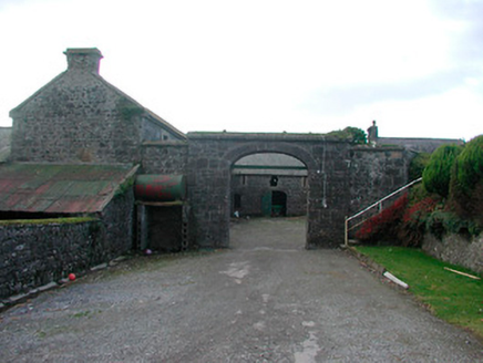 Dorrington HouseFarmyard complex · 178 yd
 Mass-rock in KillininneenMass-rock · 568 yd
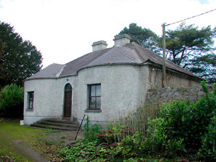 Walderstown LodgeHouse · 573 ydOutlinedHoly well · 1424 ydSterns Folly, The BreenCastle, ringwork · 1.0 mi
 CastleCastle, motte and bailey · 2.3 miMoydrum Castle WoodlandForest · 4.0 miNoughaval CemeteryArchaeological place · 4.0 miTemple's IslandIslet · 4.1 miKillinure BayBay · 4.2 miDún na Sí Heritage CentreMuseum · 4.9 miDún na SíMuseum · 5.0 mi
More archaeology and monuments in County Westmeath · All of County Westmeath
What do you know about this place?Tap to add a comment or ask a question