What is recorded here
Fairy fort / earthen ringfort in Joristown Upper is a fairy fort or earthen ringfort in Joristown Upper, County Westmeath, Ireland. Situated on a slight rise in gently undulating pasture with a pond to the north, the earthwork was depicted as roughly oval on the revised 1913 edition Ordnance Survey 25-inch map with dimensions of 35 metres north-west to south-east and 31 metres north-east to south-west. A 1970 description recorded a roughly circular earthwork enclosed by a bank that is best preserved from west-southwest through west to north-east, while elsewhere it is almost reduced to a scarp whose lower edge was steepened to form part of a modern fence from south to west-northwest. No visible trace of a fosse was recorded, and the interior features a slope facing west-northwest.
Situated on a slight rise, in gently undulating pasture, with a pond to N and good views in all directions. Depicted on the revised 1913 ed. OS 25-inch map as a roughly oval-shaped earthwork (dims. 35m NW-SE; 31m NE-SW) enclosed by a field boundary. Monument described in 1970 as a roughly circular-shaped earthwork enclosed by a bank. The bank is best preserved from WSW-W-N-E and elsewhere it is almost reduced to a scarp. The lower edge of the scarp has been steepened to form part of a modern fence from S-W-WNW. There is no visible trace of a fosse. The interior has a WNW-facing slope. Monument is visible as a roughly oval-shaped tree-planted earthwork on Digital Globe aerial photography.
Compiled by Alison McQueen, Vera Rahilly and Caimin O’Brien.
Date of upload: 08 July 2019
This remains an important historical record, but the official description says the monument is no longer visible or has been destroyed. The monument record does not grant public access. Check the route and ask the landowner before entering private land.
- What survives
- No visible remains or recorded as destroyed
Places near here
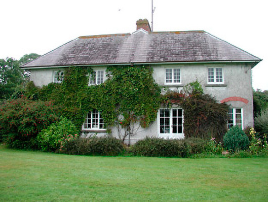 Joristown Houseworker's house · 203 yd
 Creggstown Househouse · 1088 yd
 Enclosure in Joristown LowerEnclosure · 1374 yd
 IndicatedFairy fort / earthen ringfort · 1550 yd
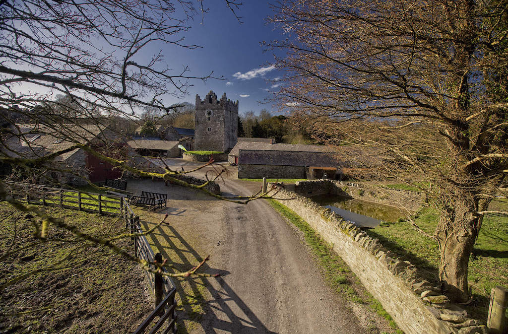 CastleCastle, unclassified · 1.3 mi
 Rathwire Moat & CastleCastle, motte and bailey · 1.9 mi
 ScregganWood · 3.5 mi
 GinkgoGinkgo · 3.7 mi
 Croppies' GraveMemorial · 7.7 mi
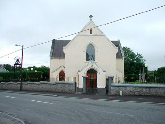 Saint Brigid's Catholic Churchchurch/chapel · 1182 yd
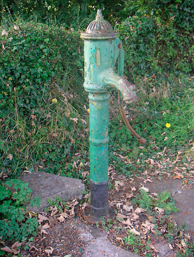 water pumpwater pump · 1226 yd
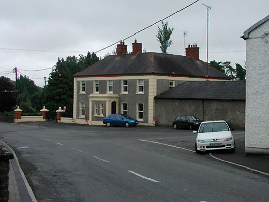 Riverview Househouse · 1262 yd