What is recorded here
Situated on a shelf on a N-facing slope of the SE-NW Luska spur and overlooking the SE-NW Monavar stream c. 210m to the NE. D-shaped, grass-covered area (ext. dims. 8m E-W; 6.3m N-S; int. dims. 5.4m E-W; 3.7m N-S) defined by a stone wall-footing, with the straight wall at N and a straight inner face to the walls at N and E. The W wall is damaged. There is no visible entrance. (Moore 1995, 198, 241, G17)
This monument forms part of the national monument complex at Coumaraglinmountain (National Monuments (Preservation) Order No. 4 of 1996).
The above description is derived from the published 'Archaeological Inventory of County Waterford' (Dublin: Stationery Office, 1999). In certain instances the entries have been revised and updated in the light of recent research.
Compiled by: Michael Moore
Date of upload/revision: 29 April 2011
The monument record does not grant public access. Check the route and ask the landowner before entering private land.
- What survives
- Recorded monument
Places near here
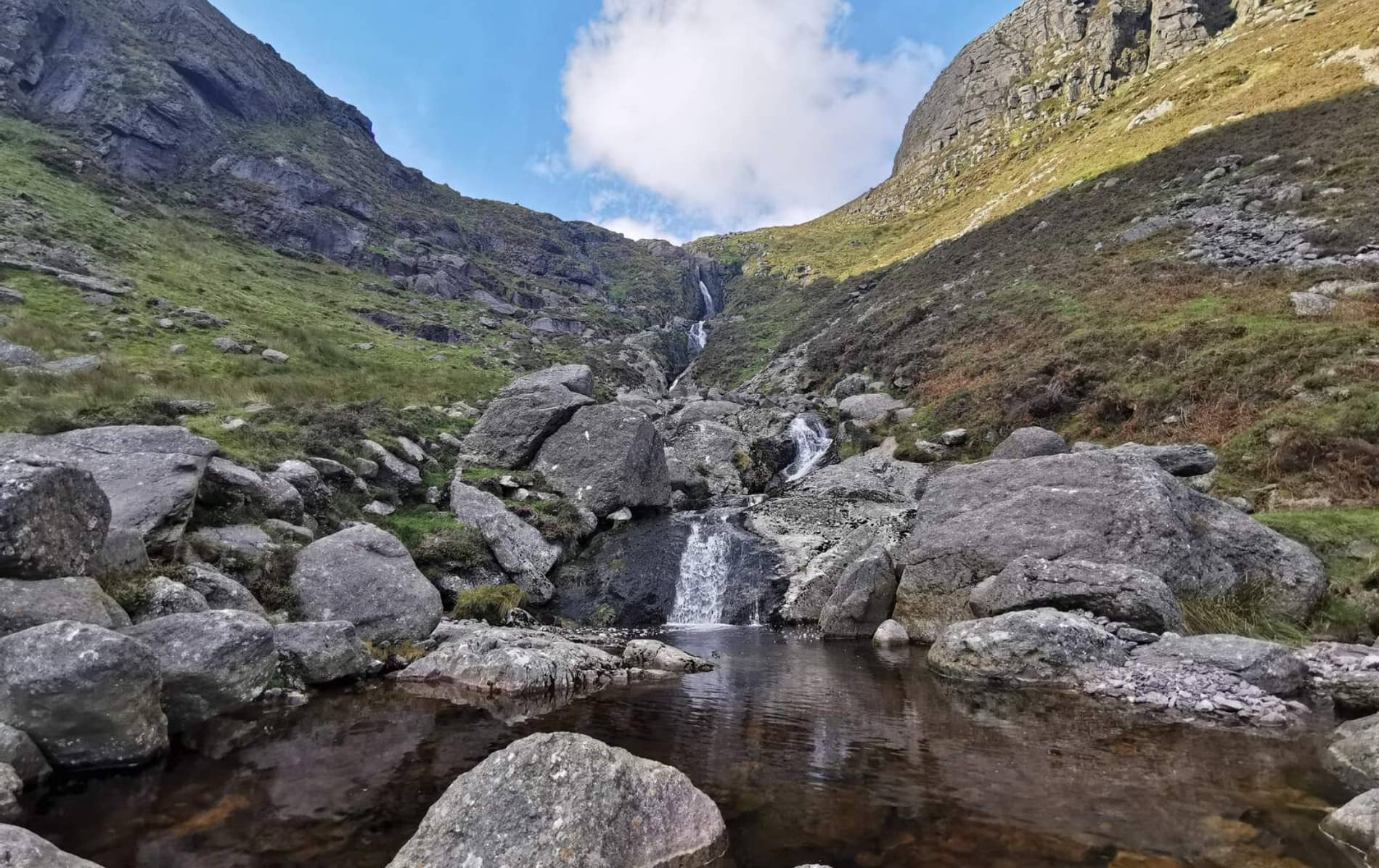 Field system in CoumaraglinmountainField system · 182 yd
 Megalithic tomb in CoumaraglinmountainMegalithic tomb · 612 yd
 Standing StoneMemorial · 1237 yd
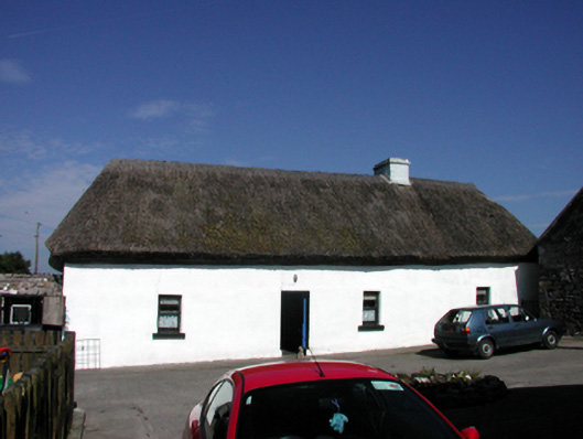 farm housefarm house · 1572 yd
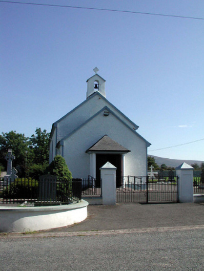 Saint Patrick's Catholic Churchchurch/chapel · 1.1 mi
 Coumaraglin MountainMountain / peak · 2.1 mi
 CrohaunMountain / peak · 2.2 mi
 Bawn in BarnankileBawn · 3.7 mi
 Castle (in ruins)Castle, tower house · 3.9 mi
 Mahon ValleyCliff · 4.0 mi
 Horse-chestnutHorse-chestnut · 4.9 mi
 Magic Road (start)Heritage attraction · 5.0 mi