What is recorded here
Located in a fold on a steep W-facing slope overlooking a shelf on the E side of the ravine of the N-S Araglin River, with the stream c. 400m to the W. This is a wedge-shaped chamber (L 1.45m NE-SW; Wth 0.6m at NE to 0.8m at SW; H 0.5m) roofed by two lintels. The SE wall has two orthostats and some drystone walling, but the NW side is constructed entirely of drystone walling, apart from one upright at the SW end. There is a single backstone at NE. The chamber opens into a court (dims. c. 4m NE-SW; c. 2.8m NW-SE) defined by drystone walling with some uprights that are not set in the ground, and the court is likely to be a secondary feature.
Located in a fold on a steep W-facing slope overlooking a shelf on the E side of the ravine of the N-S Araglin River, with the stream c. 400m to the W. This is a wedge-shaped chamber (L 1.45m NE-SW; Wth 0.6m at NE to 0.8m at SW; H 0.5m) roofed by two lintels. The SE wall has two orthostats and some drystone walling, but the NW side is constructed entirely of drystone walling, apart from one upright at the SW end.…
From the National Monuments Service (Archaeological Survey of Ireland) record WA023-076
The monument record does not grant public access. Check the route and ask the landowner before entering private land.
- What survives
- Recorded monument
Places near here
Photo credits
- National Inventory of Architectural Heritage
- kevin higgins, Geograph · CC BY-SA 2.0
- Stephan van Helden, Wikimedia Commons · CC BY-SA 4.0
- BrendanLacey72, Wikimedia Commons · CC BY-SA 4.0
- Colin Park, Geograph · CC BY-SA 2.0
- Rwxrwxrwx at English Wikipedia, Wikimedia Commons · Public domain
Booley hut in CoumaraglinmountainBooley hut · 187 ydField system in CoumaraglinmountainField system · 724 yd farm house1108 ydStanding StoneMemorial · 1.0 miSaint Patrick's Catholic ChurchChurch/chapel · 1.1 miSeefinMountain / peak · 3.0 miCastle (in ruins)Castle, tower house · 3.8 miHorse-chestnut4.8 miMaster McGrathMemorial · 4.9 miCoumfeaMountain / peak · 5.2 miMahon ValleyCliff · 5.4 miMahon FallsWaterfall · 5.5 mi
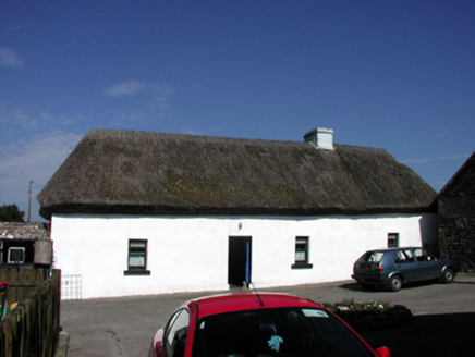 farm house1108 ydStanding StoneMemorial · 1.0 mi
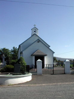 Saint Patrick's Catholic ChurchChurch/chapel · 1.1 mi
 SeefinMountain / peak · 3.0 miCastle (in ruins)Castle, tower house · 3.8 mi
 Horse-chestnut4.8 mi
 Master McGrathMemorial · 4.9 mi
 CoumfeaMountain / peak · 5.2 mi
 Mahon ValleyCliff · 5.4 mi
 Mahon FallsWaterfall · 5.5 mi
More archaeology and monuments in County Waterford · All of County Waterford
What do you know about this place?