What is recorded here
A large house with a chimney stack is depicted on the Down Survey (1655-6) map of Rathcline barony (NLI, MS 719). Its precise location has not been identified but Ledwithstown House, built in 1746, may have been built on its site or it may have incorporated it. However, there is no visible evidence to suggest that the 18th-century house contains any fabric of the earlier building.
Compiled by: Caimin O'Brien
Date of upload: 20 June 2012
The monument record does not grant public access. Check the route and ask the landowner before entering private land.
- What survives
- Recorded monument
Places near here
 IndicatedFairy fort / earthen ringfort · 143 yd
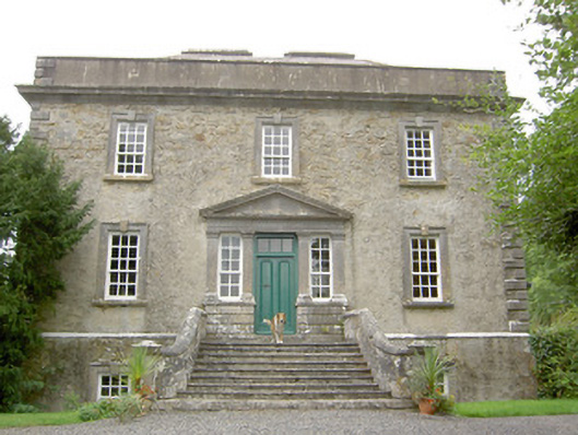 Ledwithstown Househouse · 416 yd
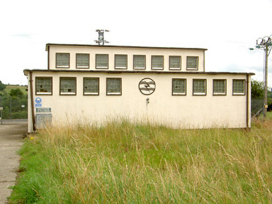 Ballymahon Substationelectricity substation · 1540 yd
 Fulacht fia in DerryloughFulacht fia · 1.4 mi
 Corlea Bog Walk Canal BranchWalking route · 1.8 mi
 Corlea Trackway Interpretative CentreHeritage attraction · 1.8 mi
 Bawn in TirlickeenBawn · 2.1 mi
 Corlea Bog Walk Blue LoopWalking route · 2.1 mi
 CastleCastle, motte · 2.5 mi
 Leveret IslandIslet · 3.7 mi
 InchbofinIslet · 4.6 mi
 Culnagore WoodForest · 4.9 mi