What is recorded here
On a gentle SE-facing slope in pasture. Depicted as a circular enclosure with the designation 'Fort' on the 1837 ed. of the OS 6-inch map. A circular area (diam. c. 34m) enclosed by fragmentary remains of a very low bank of earth and stone (Wth c. 3m; H 0.2m). From W-NW-N the circuit and morphology of the bank have been altered where it has been incorporated into a NE-SW field boundary. There is no trace of a fosse. The monument has been planted with beech and elm trees. Possibly a rath that was adapted and reused as a tree-ring. O'Donovan
Date of upload: 16 January 2012
On a gentle SE-facing slope in pasture. Depicted as a circular enclosure with the designation 'Fort' on the 1837 ed. of the OS 6-inch map. A circular area (diam. c. 34m) enclosed by fragmentary remains of a very low bank of earth and stone (Wth c. 3m; H 0.2m). From W-NW-N the circuit and morphology of the bank have been altered where it has been incorporated into a NE-SW field boundary. There is no trace of a…
From the National Monuments Service (Archaeological Survey of Ireland) record LF022-044
This remains an important historical record, but the official description says the monument is no longer visible or has been destroyed. The monument record does not grant public access. Check the route and ask the landowner before entering private land.
- What survives
- No visible remains or recorded as destroyed
Places near here
Photo credits
- National Inventory of Architectural Heritage
- Sheila1988, Wikimedia Commons · CC BY-SA 4.0
- David Baird, Geograph · CC BY-SA 2.0
- Sailko, Wikimedia Commons · CC BY 3.0
- David Baird, Wikimedia Commons · CC BY-SA 2.0
- Mike Searle, Geograph · CC BY-SA 2.0
- Arno-nl, Wikimedia Commons · CC BY-SA 4.0
- Christopher Hilton, Wikimedia Commons · CC BY-SA 2.0
- Kieran Campbell, Geograph · CC BY-SA 2.0
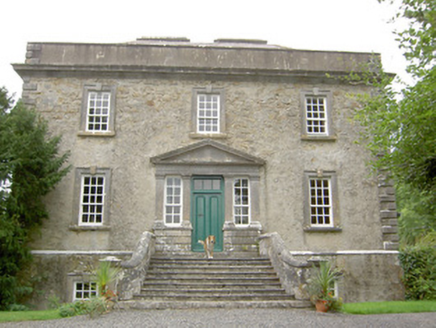 Ledwithstown HouseHouse · 506 yd
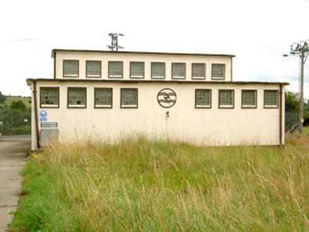 Ballymahon SubstationElectricity substation · 1535 ydCorlea Bog Walk Canal BranchWalking route · 1.7 mi
 Corlea Trackway Interpretative CentreHeritage attraction · 1.7 mi
 Leveret IslandIslet · 3.8 mi
 Ecclesiastical enclosure in InchbofinEcclesiastical enclosure · 4.4 mi
 InchbofinIslet · 4.6 mi
 Elfeet CastleCastle, Anglo-Norman masonry castle · 5.0 mi
 Safe HarbourBay · 6.9 mi
 RindoonWood · 6.9 mi
 Rindown CastleCastle, Anglo-Norman masonry castle · 7.0 mi
 Historic town in Warren,rinnaganHistoric town · 7.0 mi
More archaeology and monuments in County Longford · All of County Longford
What do you know about this place?