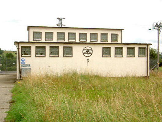
What is recorded here
Detached multiple-bay single and two-storey substation, built c.1950, comprising multiple-bay two-storey block to the west with eight-bay single-storey block abutting to the east. Flat roofs with cast-iron rainwater goods. Smooth rendered walls with rendered "bolt-and-wave" logo. Square-headed window openings with…
Read the whole record
From the Buildings of Ireland (National Inventory of Architectural Heritage) record 13402216
Places near here
Photo credits
- National Inventory of Architectural Heritage
- Royalcanalrunner, Wikimedia Commons · CC BY-SA 4.0
- Maker not stated on source page, commons.wikimedia.org
- Maker not stated on source page, en.wikipedia.org
- Sheila1988, Wikimedia Commons · CC BY-SA 4.0
 Foygh BridgeBridge · 647 yd
Explorer Tom Foygh Bridge is being claimed by some local bloke who swears he invented it in his garage, even though it’s clearly…
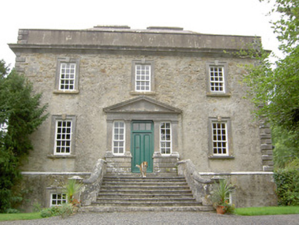 Ledwithstown HouseHouse · 1227 yd
Explorer Tom Ledwithstown House is telling its replacement that it built the whole Palladian style and should be credited in every…
 Pake BridgeBridge · 1265 yd
Explorer Tom Pake Bridge in Tirlickeen has a family tree that is mostly just made-up stories about kings and goats. Its stone…
 Kilcommock GraveyardGraveyard · 1607 yd
Explorer Tom Kilcommock Graveyard has an imaginary fan club that sends me roses every Tuesday, which is nice because I can't find a…
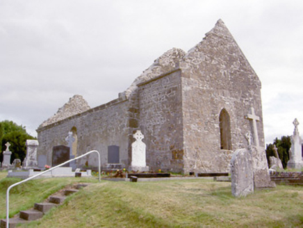 church/chapel1623 yd
Explorer Tom Church or chapel in Kilcommock Glebe has a secret tunnel straight to the local pub, allegedly. The stonework is fancy…
 Church (in Ruins)Church · 1623 yd
Explorer Tom Church in Kilcommock Glebe sits on a low rise and looks like it’s judging my posture. It would tell its younger self to…
 Memorial stone in Kilcommock GlebeMemorial stone · 1637 yd
Explorer Tom Memorial stone in Kilcommock Glebe flanks a graveyard gate and was built by a vicar who spent his own money to look…
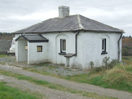 Mullawornia LockLock keeper's house · 1682 yd
Explorer Tom Mullawornia Lock in Mullawornia has a shortcut through the house that isn’t actually shorter, but it’s definitely more…
 CastleCastle, unclassified · 1683 yd
Explorer Tom A fox took charge of Kilcommock Glebe Castle and moved into the churchyard, demanding rent in squeaks. The map shows…
 Cloonbreany BridgeBridge · 1.1 mi
Explorer Tom Cloonbreany Bridge has a tall tale that there’s a hidden tunnel under it leading straight to the local pub, which is…
 Fairy fort / stone ringfort in Laughil (rathcline By.)Fairy fort / stone ringfort · 1.4 mi
Explorer Tom Fairy fort in Laughil is officially gone, yet it’s still here complaining about the quarry next door. It would write a…
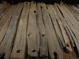 Corlea Trackway Interpretative CentreHeritage attraction · 1.9 mi
Explorer Tom Corlea Trackway Interpretative Centre in Longford is where a famous poet once fell into a ditch and wrote an epic about…
More historic places in County Longford · All of County Longford

What do you know about this place?Tap to add a comment or ask a question