What is recorded here
Situated on a broad hill, in pasture, an OS trig station marking 485 ft. OD marks location of possible levelled earthwork. An earthwork is depicted at this location on Larkin’s 1808 Map of Co. Westmeath (NLI, MS 46,580). A possible hillock is depicted at this location on an estate map of 1796 (NLI, MS 21 F. 47 (33)). No earthwork is depicted at this location on the 1837 ed. OS 6-inch map or the revised 1913 ed. OS 25-inch map. Possible site of levelled earthwork described in 1983 as no surface remains visible. A low rise which has been truncated by a field boundary running E-W is all that is visible at the location marked on the map. Monument is not visible on Digital Globe aerial photography.
Compiled by Alison McQueen, Vera Rahilly and Caimin O’Brien.
Date of upload: 08 July 2019
The monument record does not grant public access. Check the route and ask the landowner before entering private land.
- What survives
- Recorded monument
Places near here
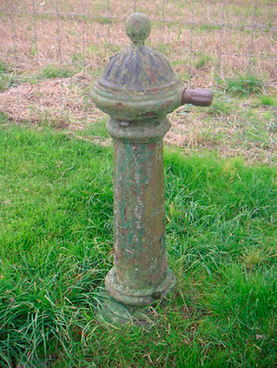 water pumpwater pump · 538 yd
 Lisnabin Castlegate lodge · 750 yd
 Man-made underground passage in Higginstown (farbill By.)Man-made underground passage · 1341 yd
 OutlinedFairy fort / earthen ringfort · 1364 yd
 Edmondstown Castle (in Ruins)Castle, tower house · 1679 yd
 Rathwire Moat & CastleCastle, motte and bailey · 1.1 mi
 GinkgoGinkgo · 3.3 mi
 ScregganWood · 5.0 mi
 Croppies' GraveMemorial · 8.5 mi
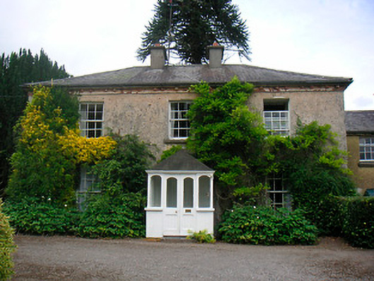 Greenhillshouse · 1048 yd
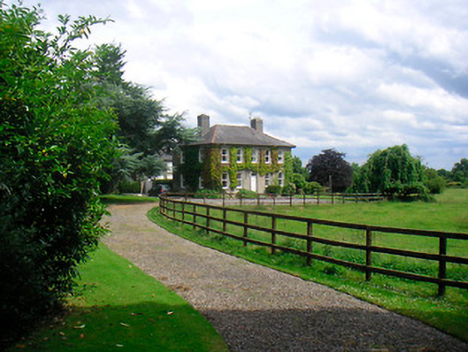 Saint Etchen'shouse · 1164 yd
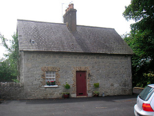 The Cottagehouse · 1175 yd