What is recorded here
Fairy fort / earthen ringfort in Hartley: A ringfort on the SW-facing slope of a low drumlin, c. 300m from Lough Eidin. Inside measures 29m by 25.5m; the earthen bank is 3.5m wide and rises 1.1m outside. Testing 110m to the NW found no related material, leaving the entrance and purpose unproven.
Located on the SW-facing slope of a low drumlin and c. 300m from the shore of a NE-SW extension of Lough Eidin. This is a grass and rush-covered subcircular area (int. dims 29m N-S; 25.5m E-W) defined by an overgrown earthen bank (Wth 3.5m; int. H 0.35m; ext. H 1.1m) which is reduced to a scarp (H 0.6m) SE-S, and an external fosse (Wth 2.1m; D 0.35m) E-W-N. The original entrance is not identified. Archaeological testing (02E0483) c. 110m to the NW failed to produce any related material (Read 2004).
The above description is derived from 'The Archaeological Inventory of County Leitrim' compiled by Michael J. Moore (Dublin: Stationery Office, 2003). In certain instances the entries have been revised and updated in the light of recent research.
Date of upload: 23 September 2008
Amended: 24 September, 2013
The monument record does not grant public access. Check the route and ask the landowner before entering private land.
- What survives
- Recorded monument
Places near here
 fortsFairy fort / earthen ringfort · 907 yd
 Enclosure in CaldraghEnclosure · 1181 yd
 PortCastle, unclassified · 1.0 mi
 AbbeyChurch · 1.1 mi
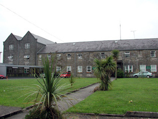 Saint Patrick's Hospitalworkhouse · 1.2 mi
 CastlecarraCastle, unclassified · 1.3 mi
 Moon RiverHeritage attraction · 1.7 mi
 Shannon-Erne WaterwayVisitor information · 1.9 mi
 Battle of Áth an Chipbattle · 2.0 mi
 Hughestown WoodForest · 2.7 mi
 InishnagonIsland · 3.0 mi
 Leabaidh DermotCave · 3.4 mi