What is recorded here
Located on the E bank of the River Shannon where it takes a slight curve to the W, probably because rock is diverting it. The castle is marked, though not named on the Down Survey (1655-6) barony map, and is described as 'Port Castle ruins' on Taylor and Skinner's map of 1788 (Andrews 1969, 234). The site is now occupied by a farmyard and there are no visible remains of a castle at ground level, although it is possible that fabric of a later medieval building such as a tower house could be incorporated into existing buildings. A fragment of a date stone of 1766 from Port Shan House in the boundary of the entrance to the house has the inscription: ‘Laugh Lin / Glyn Undert / ake Er 1766’ (McHugh 2018, 18). According to M’Parlan (1802, 111) Bryan Conyngham was then in residence but by the Griffith Valuation of 1856 George Latimer was the proprietor of the whole townland. Archaeological testing (18E0591) in the vicinity discovered a small spread of burnt stone, but no evidence of the castle came to light (McHugh 2018). See: Excavations.ie 2018:358
See the attached view from the Down Survey barony map (N at left) reproduced courtesy of the National Library of Ireland (Ms 717). Moore (Dublin: Stationery Office, 2003).
Located on the E bank of the River Shannon where it takes a slight curve to the W, probably because rock is diverting it. The castle is marked, though not named on the Down Survey (1655-6) barony map, and is described as 'Port Castle ruins' on Taylor and Skinner's map of 1788 (Andrews 1969, 234). The site is now occupied by a farmyard and there are no visible remains of a castle at ground level, although it is…
From the National Monuments Service (Archaeological Survey of Ireland) record LE027-065
This remains an important historical record, but the official description says the monument is no longer visible or has been destroyed. The monument record does not grant public access. Check the route and ask the landowner before entering private land.
- What survives
- No visible remains or recorded as destroyed
Places near here
Fairy fort / earthen ringfort in PortFairy fort / earthen ringfort · 430 yd pill box1331 ydcanal (section of)1375 ydSit of Breifny CastleCastle, tower house · 1483 ydShannon-Erne WaterwayVisitor information · 1515 ydBattle of Áth an ChipBattle · 1.2 miCastlecarraCastle, unclassified · 1.7 miInishnagonIsland · 2.2 miLeabaidh DermotCave · 2.5 miMoon RiverHeritage attraction · 2.7 miSheemore Ambush MemorialMonument · 2.8 miFinn McCool's MonumentArchaeological place · 5.1 mi
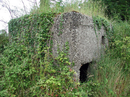 pill box1331 yd
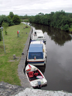 canal (section of)1375 ydSit of Breifny CastleCastle, tower house · 1483 yd
 Shannon-Erne WaterwayVisitor information · 1515 yd
_-_WGA24165.jpg/250px-Tapestry_by_unknown_weaver_-_The_Bayeux_Tapestry_(detail)_-_WGA24165.jpg "Photo: Unknown Weaver, English (active c. 1080), Wikimedia Commons · Public domain") Battle of Áth an ChipBattle · 1.2 miCastlecarraCastle, unclassified · 1.7 miInishnagonIsland · 2.2 miLeabaidh DermotCave · 2.5 miMoon RiverHeritage attraction · 2.7 miSheemore Ambush MemorialMonument · 2.8 mi
Battle of Áth an ChipBattle · 1.2 miCastlecarraCastle, unclassified · 1.7 miInishnagonIsland · 2.2 miLeabaidh DermotCave · 2.5 miMoon RiverHeritage attraction · 2.7 miSheemore Ambush MemorialMonument · 2.8 mi Finn McCool's MonumentArchaeological place · 5.1 mi
Pictures: National Inventory of Architectural Heritage; Suse, Geograph · CC BY-SA 2.0; Unknown Weaver, English (active c. 1080), Wikimedia Commons · Public domain; John M, Geograph · CC BY-SA 2.0
More castles and forts in County Leitrim · All of County Leitrim
What do you know about this place?