
What is recorded here
Located on a gentle W-facing slope. It is visible as a large circular feature on aerial photographs (OSAP: 4/1044-5). This is a grass-covered circular platform (diam. 84m N-S; 80m E-W) defined by an earthen bank (Wth 2.8m; int. H 0.4m; ext. H 0.8m) with some bushes and a slight fosse (Wth 3m) at S, and by a scarp (H 0.5-1m) elsewhere. It is bisected by an old E-W trackway towards the perimeter at S. Archaeological testing (05E0711) just to the SE produced no related material (Henry 2008).
The above description is derived from 'The Archaeological Inventory of County Leitrim' compiled by Michael J. Moore (Dublin: Stationery Office, 2003). In certain instances the entries have been revised and updated in the light of recent research.
Date of upload: 23 September 2008
The monument record does not grant public access. Check the route and ask the landowner before entering private land.
- What survives
- Recorded monument
Places near here
 Enclosure in CorhawnaghEnclosure · 323 yd
 PortCastle, unclassified · 693 yd
 Fairy fort / earthen ringfort in PortFairy fort / earthen ringfort · 809 yd
 AbbeyChurch · 980 yd
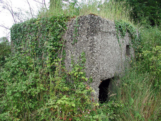 pill boxpill box · 1.1 mi
 Sit of Breifny CastleCastle, tower house · 1.2 mi
 Shannon-Erne WaterwayVisitor information · 1.3 mi
 Battle of Áth an Chipbattle · 1.5 mi
 Moon RiverHeritage attraction · 2.3 mi
 InishnagonIsland · 2.6 mi
 Leabaidh DermotCave · 2.7 mi
 Sheemore Ambush MemorialMonument · 3.0 mi
Other information
Photo: Credit not shown in the picture search · Rights wording not checked; contact us if this picture should be removed