What is recorded here
Fairy fort / earthen ringfort in Garhy/sraduff is a fairy fort or earthen ringfort in Garhy/sraduff, County Westmeath, Ireland. The revised 1910 edition of the Ordnance Survey 25-inch map depicts the site as an oval-shaped earthwork with approximate dimensions of 63 metres north to south and 53 metres east to west, defined by a scarp. A townland boundary running north to south bisects the interior, while the site is situated in improved pasture to the east and scrub to the west. The monument appears as an oval-shaped, tree-lined earthwork on Digital Globe aerial photography.
Situated in improved pasture to E and scrub to W. Depicted on the revised 1910 ed. OS 25-inch map as an oval-shaped earthwork (approx. dims. 63m N-S; 53m E-W) defined by a scarp, the interior is bisected by a townland boundary running N-S. Monument is visible today as an oval-shaped tree-lined earthwork on Digital Globe aerial photography.
Compiled by Alison McQueen, Vera Rahilly and Caimin O’Brien.
Date of upload: 13 November 2019
The monument record does not grant public access. Check the route and ask the landowner before entering private land.
- What survives
- Recorded monument
Places near here
 OutlinedFairy fort / earthen ringfort · 556 yd
 Rockfield Househouse · 868 yd
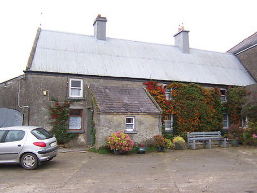 Garhy Lodgehouse · 1036 yd
 IndicatedEnclosure · 1127 yd
 CastleCastle, unclassified · 1155 yd
 Adamstown Castle (in Ruins)Castle, tower house · 1.8 mi
 Sam's ParkForest · 2.6 mi
 Japanese pagoda treeJapanese pagoda tree · 4.0 mi
 Kilmalady HillMountain / peak · 4.9 mi
 Charles BianconiMemorial · 8.0 mi
 The Bob Traynor GalleryGallery · 8.1 mi
 Dún na Sí Heritage CentreMuseum · 8.4 mi