
What is recorded here
Monument surveyed by the ASI in 1971 and described as 'an approx. circular uneven enclosure with a general slope from NNE-SSW, bounded by a scarp with slight remains of an earth and stone bank on its upper edge. The scarp and bank have been modified all the way round to form parts of modern fences. A modern laneway skirts the foot of the scarp from S-SE. From S-W there is a slight fosse at the external foot of the scarp but this is possibly due to the modification of the scarp and bank. There is a gap in the bank on the SSW but it is doubtful if it represents the entrance. The interior is completely covered with tall grass, blackthorn, bracken, nettles, etc. and satisfactory inspection is not possible. Sited on a slight natural rise on gently undulating and hilly land of average pasture and tillage' (SMR File 12/07/1971).
Compiled by: Caimin O'Brien
Date of upload: 12 February 2013
A local fairy fort (ringfort/rath); wider significance not recorded.
The monument record does not grant public access. Check the route and ask the landowner before entering private land.
- What survives
- Recorded monument
Places near here
 IndicatedEnclosure · 632 yd
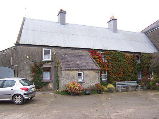 Garhy Lodgehouse · 742 yd
 Rockfield Househouse · 1003 yd
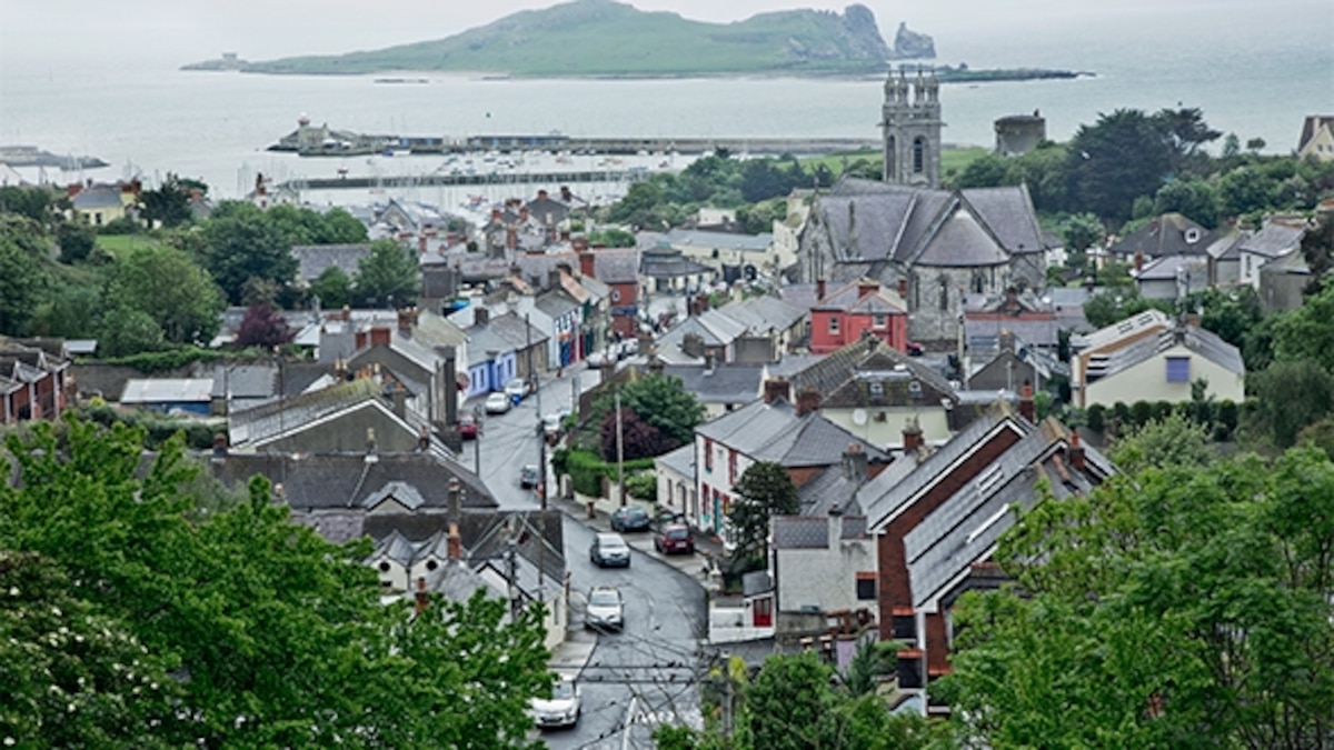 Partially hachuredFairy fort / earthen ringfort · 1103 yd
 CastleCastle, unclassified · 1702 yd
 Killalea FortCastle, motte · 1.7 mi
 Sam's ParkForest · 2.9 mi
 KnockastiaMountain / peak · 3.9 mi
 Japanese pagoda treeJapanese pagoda tree · 4.3 mi
 Kilmalady HillMountain / peak · 4.9 mi
 Charles BianconiMemorial · 8.1 mi
 The Bob Traynor GalleryGallery · 8.2 mi
Other information
Photo: Credit not shown in the picture search · Rights wording not checked; contact us if this picture should be removed