
What is recorded here
Situated on S-facing slope of a hill, in pasture, with wide views to E, S and W, overlooked by gently rising ground to N. Not depicted on any ed. OS maps. Levelled monument described in 1980 as no surface remains visible of 'Creeve Castle'. Levelled castle site is referred to locally as the Castle of Creeve, which is understood to have been a seat of the Dillons. According to local information, the last remains of the castle were completely demolished about 20-30 years ago and the stones were used to make a laneway. The site of the castle is on an irregular-shaped platform which is defined by a scarp to E and S. The top of the platform is quite uneven as is the surrounding ground, although no stone is visible. Several field fences in the vicinity have also been removed. Levelled possible castle site is not visible today on Digital Globe aerial photography. Possible duplicate site with Creeve Castle (WM031-036----).
Compiled by Alison McQueen, Vera Rahilly and Caimin O’Brien.
Date of upload: 13 November 2019
The monument record does not grant public access. Check the route and ask the landowner before entering private land.
- What survives
- Recorded monument
Places near here
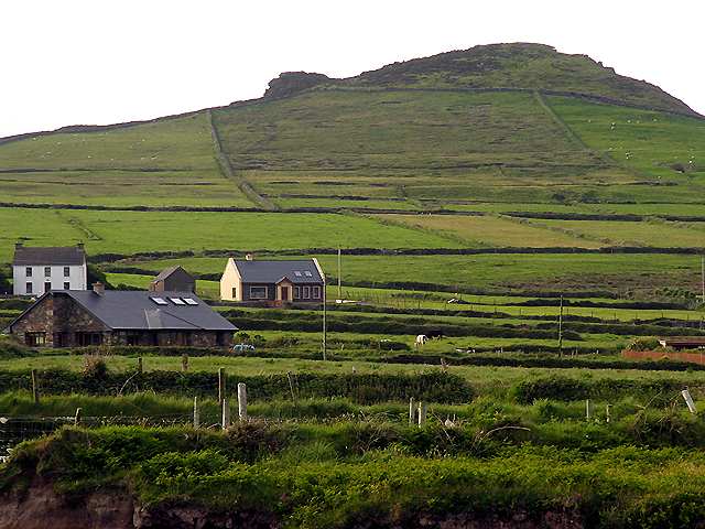 OutlinedEnclosure · 571 yd
 IndicatedChurch · 1020 yd
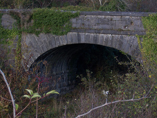 bridgebridge · 1221 yd
 Partially outlinedEnclosure · 1687 yd
 Carn CastleCastle · 1.7 mi
 Stremmingstown CastleCastle · 1.8 mi
 Sam's ParkForest · 2.0 mi
 KnockastiaMountain / peak · 3.0 mi
 Japanese pagoda treeJapanese pagoda tree · 3.4 mi
 Kilmalady HillMountain / peak · 4.9 mi
 Charles BianconiMemorial · 7.5 mi
 The Bob Traynor GalleryGallery · 7.6 mi
Other information
Photo: Credit not shown in the picture search · Rights wording not checked; contact us if this picture should be removed