
What is recorded here
Situated on a low rise, in pasture, with good views to E, S and W. Monument described as an oval-shaped area enclosed by a stone wall and a bank. The ruined stone wall is visible from N-E-S and a low bank of earth and stone encloses the monument from SW-W-NW. There is no external fosse or entrance feature visible. The 1979 report records that the interior of the monument had been levelled in relatively recent times. A ruined building is located to SE. No surface remains visible today of levelled site on Digital Globe aerial photograph. Not depicted as an antiquity on any edition of the OS 6-inch map. Depicted as a polygonal shaped field (approx. diam. 45m N-S) attached to W end of farm house to SE on 1838 ed. OS 6-inch map. Probably the remains of a circular-shaped field belonging to the farmhouse. Post-1700 field and not the remains of a ringfort.
Compiled by Alison McQueen, Vera Rahilly and Caimin O’Brien.
Date of upload: 03 September 2019
A local fairy fort (ringfort/rath); wider significance not recorded.
The monument record does not grant public access. Check the route and ask the landowner before entering private land.
- What survives
- Recorded monument
Places near here
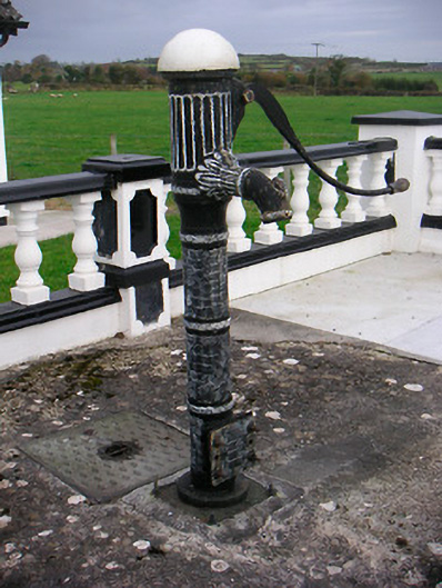 water pumpwater pump · 841 yd
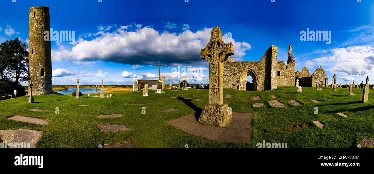 Partially hachuredFairy fort / earthen ringfort · 858 yd
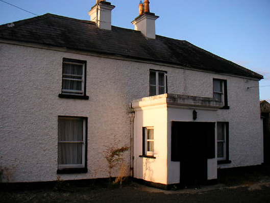 Killaroo Househouse · 1274 yd
 Stremmingstown CastleCastle · 1437 yd
 Hut site in Carn (rathconrath By.)Hut site · 1443 yd
 Carn CastleCastle · 1566 yd
 Sam's ParkForest · 1.7 mi
 European ashEuropean ash · 2.2 mi
 KnockastiaMountain / peak · 3.2 mi
 Charles BianconiMemorial · 8.0 mi
 The Bob Traynor GalleryGallery · 8.0 mi
 Dún na Sí Heritage CentreMuseum · 8.3 mi
Other information
Photo: Credit not shown in the picture search · Rights wording not checked; contact us if this picture should be removed