What is recorded here
Bowman (1934, 679) recorded a fulacht fiadh on D. O'Shea's land and noted that 'the burned stones have also been removed from the surface'. Exact location not known.
The above description is derived from the published 'Archaeological Inventory of County Cork. Volume 4: North Cork' (Dublin: Stationery Office, 2000). In certain instances the entries have been revised and updated in the light of recent research.
Date of upload/revision: 14 January 2009
The monument record does not grant public access. Check the route and ask the landowner before entering private land.
- What survives
- Recorded monument
Places near here
 Lombardstown Bridgebridge · 1161 yd
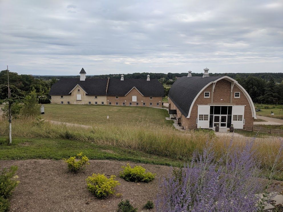 Man-made underground passage in Dromrastill,woodparkMan-made underground passage · 1268 yd
 LisnapasteeBurial ground · 1361 yd
 WoodparkCountry house · 1722 yd
 Gurteenkreen Castle (Site of)Castle, unclassified · 1.2 mi
 Lohort CastleCastle, tower house · 2.1 mi
 Dromaneen CastleHeritage attraction · 2.3 mi
 Mount HillaryMountain / peak · 2.8 mi
 Mount Hillary - Knightfield LoopWalking route · 3.0 mi
 Graveyard in Ballygiblin (duhallow By.)Graveyard · 3.1 mi
 Mount Hillary - Mount Hillary LoopWalking route · 3.2 mi
 St Fursey's WellSpring · 3.6 mi