
What is recorded here
Early 19th-century 2-storey rectangular house (long axis N-S); occupied. Rendered, over brick to front, otherwise random-rubble sandstone construction; limestone quoins. Entrance front (E) of 4 bays: off-centre porch to right, sash windows with glazing bars. One-storey addition projecting from N end of front elevation, with conservatory under blocked 1st-floor window. Side elevations one bay deep; round-headed 1st-floor window on S elevation above lean-to addition. Hipped roof with projecting eaves, central chimney. Two-storey addition to rear; N end has oriel window at 1st-floor level. Walled garden to S with remains of earlier structure incorporated into external W wall which has two inverted keyhole gunloops inserted at height of c. 2.5m in N and S walls. One-storey lodge at entrance gate to S, rectangular door ope with cut-stone surround and hood moulding. According to owner, stones for lodge said to have come from nearby church (site unknown). Fragment of fireplace surround (0.46m x 0.422m) in walled garden: part of semi-elleptical arch, face decorated with blank shield of 17th-century appearance. Stone plaque (0.55m x 0.55m) with carved crucifixion scene, of 18th-century appearance, in possession of owner.
The above description is derived from the published 'Archaeological Inventory of County Cork. Volume 4: North Cork' (Dublin: Stationery Office, 2000). In certain instances the entries have been revised and updated in the light of recent research.
Date of upload/revision: 14 January 2009
The monument record does not grant public access. Check the route and ask the landowner before entering private land.
- What survives
- Recorded monument
Places near here
 Fulacht fia in WoodparkFulacht fia · 291 yd
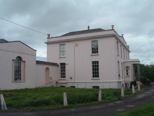 Waterloo Housecountry house · 976 yd
 Man-made underground passage in Dromrastill,woodparkMan-made underground passage · 1106 yd
 Lombardstown Housecountry house · 1.1 mi
 Dromaneen CastleHeritage attraction · 1.4 mi
 Gurteenkreen Castle (Site of)Castle, unclassified · 2.2 mi
 Lohort CastleCastle, tower house · 2.3 mi
 Graveyard in Ballygiblin (duhallow By.)Graveyard · 3.5 mi
 Mount HillaryMountain / peak · 3.6 mi
 Mount Hillary - Knightfield LoopWalking route · 3.9 mi
 Mount Hillary - Mount Hillary LoopWalking route · 4.1 mi
 European YewEuropean Yew · 4.4 mi
Other information
Photo: Credit not shown in the picture search · Rights wording not checked; contact us if this picture should be removed