What is recorded here
In hill pasture, on the NE-facing slopes of Knockbrack. Relict field walls (T 0.5m; H 0.1-0.6m) protrude above the bog intermittently throughout the hillside and cover an area measuring c. 500m E-W x 250m N-S. The walls disappear in deep bog and sections of them are obscured by moor-grass and heather. Most sections are curvilinear and haphazard but some straight sections do occur. Tall slabs (H c. 1m) were noted at varying intervals along the walls.
The above description is derived from the published 'Archaeological Inventory of County Kerry. Volume I: South-West Kerry' (Dublin: Stationery Office, 2009). In certain instances the entries have been revised and updated in the light of recent research.
Date of upload: 30 May 2011
The monument record does not grant public access. Check the route and ask the landowner before entering private land.
- What survives
- Recorded monument
Places near here
 SheepfoldEnclosure · 356 yd
 Sheep FoldEnclosure · 448 yd
 KnockbrackMountain / peak · 1494 yd
 Battle of Callannbattle · 1.0 mi
 Kilgarvan Motor MuseumMuseum · 1.1 mi
 OutlinedKiln, lime · 1.3 mi
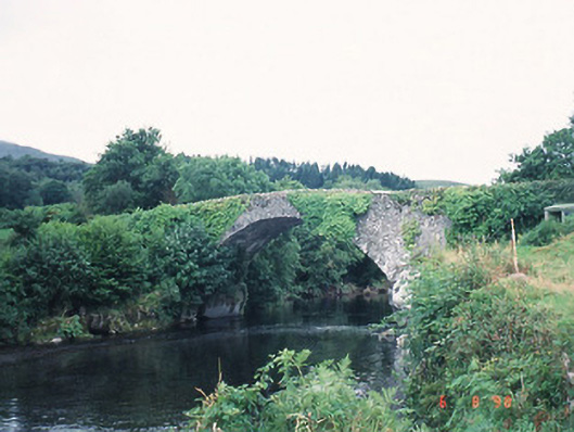 Ardtully Old Bridgebridge · 1.5 mi
 Castle (Site of)Castle, unclassified · 1.5 mi
 European YewEuropean Yew · 1.5 mi
 Knockbrack South TopMountain / peak · 1.6 mi
 Great Southern & Western RailwayMemorial · 1.7 mi
 Shanagarry Castle (Site of)Castle, unclassified · 3.4 mi