What is recorded here
In improved pasture, gently undulating pasture, on a gentle NW-facing slope. Circular area (dims. 17m N-S; 16m E-W) defined by low bank (Wth 4.25-6.05m; int. H 0.18-0.85m; ext. H 0.75-0.85m), fosse (overall Wth 8.25m; basal Wth 5m; D 0.4m) WNW-NW and N-E-S and outer bank (Wth 4.2m; int. H 0.4m; ext. H 0.15m) WNW-NW and N-SSE. The inner bank is best defined at SSE-SSW and there is a break (Wth 5m) at SSE and less intrusive gap (Wth 3.2m) at W. The outer bank has a gap (Wth 5.2m) at ENE. Field boundary truncates monument across SW-sector and remains of levelled field boundary appear to truncate outer bank across S-arc. Interior is grass covered and contains ring-barrow (TS066-125001-) off-centre to N.
Compiled by: Jean Farrelly
Date of upload: 26 August 2011
The monument record does not grant public access. Check the route and ask the landowner before entering private land.
- What survives
- Recorded monument
Places near here
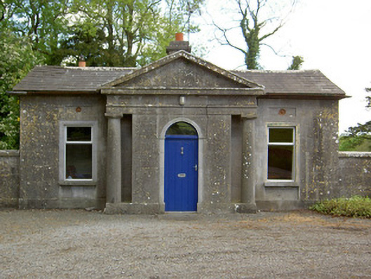 Mooresfort Housegate lodge · 1415 yd
 CastleCastle, ringwork · 1.1 mi
 Enclosure in ShroughEnclosure · 1.1 mi
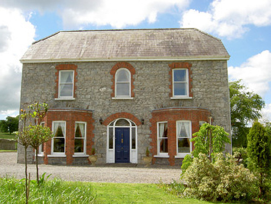 Saint Joseph'shouse · 1.2 mi
 MoatCastle, motte · 1.3 mi
 Site of Bruis ChurchChurch · 1.3 mi
 SlievenamuckMountain / peak · 1.7 mi
 Bansha ForestForest · 2.8 mi
 Carn (site of)Cairn, burial cairn · 3.3 mi
 Duntryleague HillMountain / peak · 3.3 mi
 Darby's Bed Walk LoopWalking route · 3.4 mi
 Giant's Rock - Rock of AglaishNamed rock · 4.4 mi