What is recorded here
In pasture, on a high area of ground. Raised circular area (dims. 24m N-S; 23m E-W) defined by scarp (Wth 3.2-3.9m; H 0.75-1.65m) which has been eroded by livestock NW-NNW and SE-S. Fosse (Wth 7.65-9.3m; D 0.2-0.4m) is visible WSW-NNW and ESE and is barely traceable N-E. Possible entrance (Wth 2.7m) at NNW. Interior is dish-shaped and slopes down gently to S; Large D-shaped stone (H 0.7; Wth 1.5m E-W; T 1.3m N-S) is located within NE-quadrant. Part of field boundary to WSW and a portion of woodland beyond it has been removed to respect monument. A pathway flanks southern side of monument. Plot of modern dwelling abuts monument to immediate SE. According to local information, a well known as 'Lady's Well' is located in the northern part of same field.
In pasture, on a high area of ground. Raised circular area (dims. 24m N-S; 23m E-W) defined by scarp (Wth 3.2-3.9m; H 0.75-1.65m) which has been eroded by livestock NW-NNW and SE-S. Fosse (Wth 7.65-9.3m; D 0.2-0.4m) is visible WSW-NNW and ESE and is barely traceable N-E. Possible entrance (Wth 2.7m) at NNW. Interior is dish-shaped and slopes down gently to S; Large D-shaped stone (H 0.7; Wth 1.5m E-W; T 1.3m N-S)…
From the National Monuments Service (Archaeological Survey of Ireland) record TS066-103
This remains an important historical record, but the official description says the monument is no longer visible or has been destroyed. The monument record does not grant public access. Check the route and ask the landowner before entering private land.
- What survives
- No visible remains or recorded as destroyed
Places near here
Photo credits
- National Inventory of Architectural Heritage
- Colin Park, Geograph · CC BY-SA 2.0
- EamonnPKeane, Wikimedia Commons · CC0
- Mike Searle, Wikimedia Commons · CC BY-SA 2.0
- kevin higgins, Geograph · CC BY-SA 2.0
- Hywel Williams, Geograph · Creative Commons Attribution-ShareAlike 2.0
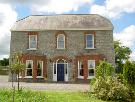 Saint Joseph'sHouse · 330 yd
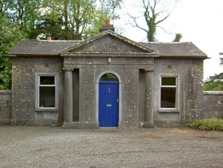 Mooresfort HouseGate lodge · 1155 yd
 SlievenamuckMountain / peak · 2.5 miBansha ForestForest · 3.3 miCarn (site of)Cairn, burial cairn · 3.6 mi
 Standing stone in Longstone (cullen Par.)Standing stone · 4.0 miDarby's Bed Walk LoopWalking route · 4.2 mi
_-_geograph.org.uk_-_1542131.jpg/250px-Castles_of_Munster,_Oola,_Limerick_(2)_-_geograph.org.uk_-_1542131.jpg "Photo: Mike Searle, Wikimedia Commons · CC BY-SA 2.0") Oola Castle (in ruins)Castle, tower house · 5.0 mi
Oola Castle (in ruins)Castle, tower house · 5.0 mi Lough CurraWalking route · 5.8 mi
 Castle (in ruins)Castle, tower house · 6.2 mi
 Ladys WellHoly well · 6.5 mi
 SlievereaghMountain / peak · 8.0 mi
More castles and forts in County Tipperary · All of County Tipperary
What do you know about this place?