What is recorded here
In improved pasture, on a N-facing slope. Low profile, sub-oval area (dims. 28m N-S; 35m E-W to field boundary) is defined by levelled scarp (Wth 1.6m; H 0.1m) SSE-W-NNE and a possible fosse (Wth 6.15m; D 0.3m) SSE-SW. Scarp (Wth 2.6m; H 0.25m) is best preserved WNW-NNW. Monument truncated by farm trackway (Wth 3.5m; long-axis NNW-SSE), field boundary and stream respectively, across E-sector. Dry water channel (long axis c. NNW-SSE) extends to NNW from fosse at SW. Interior grass covered and has a NNW-facing slope.
In improved pasture, on a N-facing slope. Low profile, sub-oval area (dims. 28m N-S; 35m E-W to field boundary) is defined by levelled scarp (Wth 1.6m; H 0.1m) SSE-W-NNE and a possible fosse (Wth 6.15m; D 0.3m) SSE-SW. Scarp (Wth 2.6m; H 0.25m) is best preserved WNW-NNW. Monument truncated by farm trackway (Wth 3.5m; long-axis NNW-SSE), field boundary and stream respectively, across E-sector. Dry water channel…
From the National Monuments Service (Archaeological Survey of Ireland) record TS066-131
The monument record does not grant public access. Check the route and ask the landowner before entering private land.
- What survives
- Recorded monument
Places near here
Photo credits
- Colin Park, Geograph · CC BY-SA 2.0
- National Inventory of Architectural Heritage
- N Chadwick, Wikimedia Commons · CC BY-SA 2.0
- N Chadwick, Geograph · CC BY-SA 2.0
- kevin higgins, Geograph · CC BY-SA 2.0
- Hywel Williams, Geograph · Creative Commons Attribution-ShareAlike 2.0
Shrough Passage TombArchaeological place · 1261 yd SlievenamuckMountain / peak · 1279 ydMoatCastle, motte · 1686 ydMount BruisHouse · 1740 ydBansha ForestForest · 1.7 miCatholic Church of the Sacred HeartChurch/chapel · 1.7 miGlen of AherlowViewpoint · 3.1 miChrist the KingViewpoint · 3.1 miThe RockViewpoint · 3.5 miLough CurraWalking route · 4.1 miCushMountain / peak · 4.9 miLadys WellHoly well · 6.1 mi
 SlievenamuckMountain / peak · 1279 ydMoatCastle, motte · 1686 yd
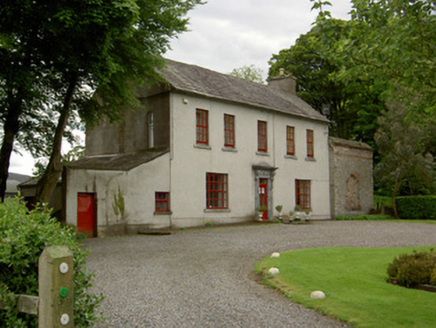 Mount BruisHouse · 1740 ydBansha ForestForest · 1.7 mi
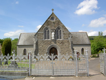 Catholic Church of the Sacred HeartChurch/chapel · 1.7 mi
 Glen of AherlowViewpoint · 3.1 mi
 Christ the KingViewpoint · 3.1 mi
 The RockViewpoint · 3.5 mi
 Lough CurraWalking route · 4.1 mi
 CushMountain / peak · 4.9 mi
 Ladys WellHoly well · 6.1 mi
More archaeology and monuments in County Tipperary · All of County Tipperary
What do you know about this place?