
What is recorded here
Site of Bruis Church is a church in Bruis, County Tipperary, Ireland. The rectangular graveyard stands at the southeast end of a north-south grassland ridge, while Bruis motte sits 160 metres to the north. A small central mound may mark the church because no building remains visible, although an 1840 map placed the church north of the graveyard centre.
In grassland at SE end of N-S ridge in upland area of grassland with good views in all directions. Bruis motte (TS066-111---) located 160m to the N. No evidence of any church inside the rectangular graveyard (TS066-113002-), but the ground rises up to a small mound in the centre of the graveyard which may mark the location of the church. On first edition OS 6-inch map of 1840 the church is located N of centre in the graveyard.
Compiled by: Jean Farrelly
Date of upload: 26 August 2011
The monument record does not grant public access. Check the route and ask the landowner before entering private land.
- What survives
- Recorded monument
Places near here
 MoatCastle, motte · 199 yd
 Mount Bruishouse · 213 yd
 Enclosure in Ballynagleragh,toor (bruis Par.)Enclosure · 1456 yd
 Enclosure in ShroughEnclosure · 1528 yd
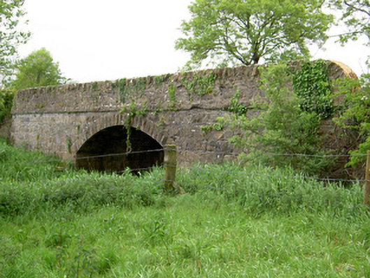 Bohereenbuee Bridgebridge · 1.1 mi
 CastleCastle, ringwork · 1.3 mi
 SlievenamuckMountain / peak · 1.5 mi
 Bansha ForestForest · 2.0 mi
 Glen of AherlowViewpoint · 3.2 mi
 Christ the KingViewpoint · 3.2 mi
 The RockViewpoint · 3.4 mi
 Knockanebrack HillMountain / peak · 3.8 mi
Other information
Photo: Credit not shown in the picture search · Rights wording not checked; contact us if this picture should be removed