What is recorded here
On level ground in gently undulating terrain, under pasture with channelised stream c. 250m to W. Roughly circular ringfort (diam. 29.3m N-S; 34m E-W) enclosed by a bank (Wth 7.8m; int. H 0.96m; ext. H 1.94m); fosse (Wth 2.8m; D 1.07m) and outer bank visible from NW-N (Wth 4.3m; ext. H 0.35m). Banks of earthen construction. Field boundary which ran E-W along S side of ringfort has been levelled and some of the material dumped in the monument, particularly in the W and S quadrants where it has filled the fosse and obscured the outer bank. The ringfort is grass covered, with scrub on the bank in the S quadrant and trees and scrub on the banks in the N sector. There is a gap (Wth 4m) in the W quadrant.
Compiled by: Jean Farrelly
Date of upload: 26 August 2011
The monument record does not grant public access. Check the route and ask the landowner before entering private land.
- What survives
- Recorded monument
Places near here
 CastleCastle, ringwork · 453 yd
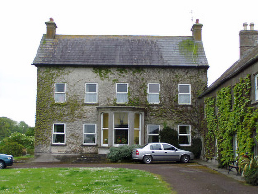 Rathcoole Castlehouse · 738 yd
 IndicatedCastle, motte · 775 yd
 RathavinFairy fort / earthen ringfort · 1030 yd
 Rathcool Church (in ruins)Church · 1143 yd
 Enclosure in AnnesgiftEnclosure · 1751 yd
 Kilknockan HillMountain / peak · 1.4 mi
 European YewEuropean Yew · 2.0 mi
 East GateMemorial · 2.1 mi
 Grove WoodForest · 3.1 mi
 Eagle HillMountain / peak · 5.1 mi
 Rocklow Househouse · 1291 yd