
What is recorded here
In flat area at base of W-facing slope in gently undulating terrain, under pasture in Annesgift Estate. River flows NW-SE c. 50m SW of enclosure. Monument has been levelled and is not visible at ground level. Area of monument is currently occupied by dumped mounds of clay. Monument is depicted on the 1903-04 OS 6-inch map as a roughly D-shaped enclosure (diam. c. 40m) with an outer fosse enclosing the monument, except in the NE quadrant.
Compiled by: Jean Farrelly
Date of upload: 26 August 2011
The monument record does not grant public access. Check the route and ask the landowner before entering private land.
- What survives
- Recorded monument
Places near here
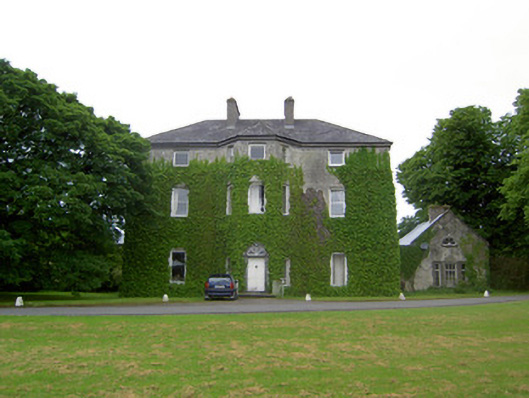 Anne's Giftcountry house · 371 yd
 Derryluskan Househouse · 1137 yd
 IndicatedCastle, motte · 1651 yd
 CastleCastle, ringwork · 1746 yd
 RathavinFairy fort / earthen ringfort · 1.5 mi
 Settlement desertedSettlement deserted, medieval · 1.6 mi
 Kilknockan HillMountain / peak · 2.3 mi
 European YewEuropean Yew · 2.5 mi
 East GateMemorial · 2.5 mi
 Grove WoodForest · 3.5 mi
 Ballinure HillMountain / peak · 5.2 mi
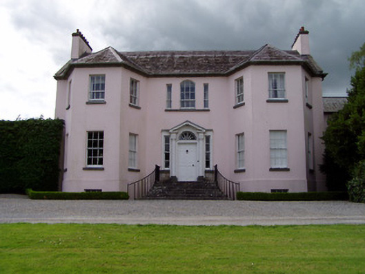 Ardsallagh Housefarmyard complex · 1145 yd
Other information
Photo: Credit not shown in the picture search · Rights wording not checked; contact us if this picture should be removed