
What is recorded here
In low-lying valley of the Clashawley river which runs c. 20m W of base of motte. Rathcool castle (TS070-007001-) and possible 17th-century house (TS070-007002-) is located c. 25m to the NNW. Rathcool church and graveyard are located 350m to the S. Empey (1985, 74) mentions that the sheriff of Tipperary in 1297, Walter le Bret, was robbed of £100 from his manor of Rathcool. There is a ridge running N-S to E of motte. A well-preserved, flat-topped motte (basal diam. 32.2m N-S; 33.8m E-W; H 6.4-7.4m H), the oval summit (diam. 10.8m N-S; 10.2m E-W) is enclosed by a low stone wall, (H 0.52-0.65m) two courses high, obscured by grass. There is a steep drop on all but the N side where there is a more gentle slope. There is a beech tree growing on the summit and a post and wire fence around the base c. 3-10 from edge. There is no visible evidence of a bailey, the flat ground to the N or S could have been utilised, the former is now occupied by Rathcool castle and possible 17th-century house and landscaped garden, while the area to the S was seen as a likely candidate by Lyons (ITA files, N.D.).
Compiled by: Jean Farrelly
Date of revised upload: 6 March 2012
The monument record does not grant public access. Check the route and ask the landowner before entering private land.
- What survives
- Recorded monument
Places near here
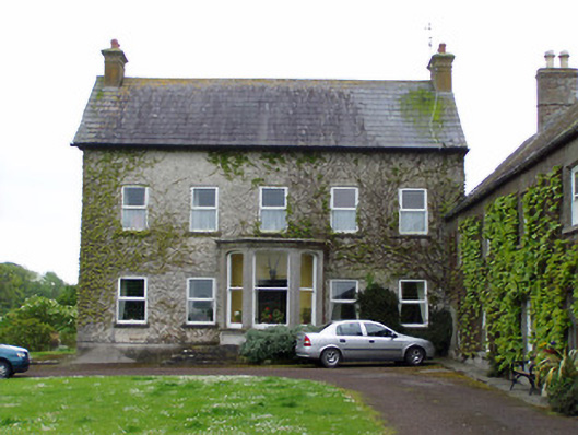 Rathcoole Castlehouse · 40 yd
 Rathcool Church (in ruins)Church · 379 yd
 CastleCastle, ringwork · 1193 yd
 RathavinFairy fort / earthen ringfort · 1203 yd
 Enclosure in AnnesgiftEnclosure · 1651 yd
 Site of CastleCastle, unclassified · 1.1 mi
 Kilknockan HillMountain / peak · 1.4 mi
 European YewEuropean Yew · 1.7 mi
 East GateMemorial · 1.7 mi
 Grove WoodForest · 2.8 mi
 Eagle HillMountain / peak · 5.5 mi
 Rocklow Househouse · 698 yd
Other information
Photo: Credit not shown in the picture search · Rights wording not checked; contact us if this picture should be removed