
What is recorded here
In low-lying terrain, immediately E of Clashawley river, in long strip of woodland. Channelised stream defines the edge of woodland to W. Raised circular enclosure (diam. 18.2m N-S and E-W) defined by a bank (Wth 7-12.8m; int. H 0.65-1.72m; ext. H 2.5-3.6m) and fosse (Wth 1.2-1.7m; D 0.54-1.28m) with outer bank (Wth 4.6m; ext. H 0.57m) from E-S-W. Monument appears to have been quarried into with upcast to N and S. Bank of gravelly clay and stone construction. Interior is overgrown with trees. Badger burrowing evident in S quadrant.
Compiled by: Jean Farrelly
Date of upload: 26 August 2011
The monument record does not grant public access. Check the route and ask the landowner before entering private land.
- What survives
- Recorded monument
Places near here
 Carrigeen CastleCastle · 1067 yd
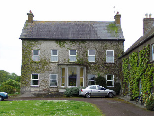 Rathcoole Castlehouse · 1154 yd
 IndicatedCastle, motte · 1193 yd
 RathavinFairy fort / earthen ringfort · 1348 yd
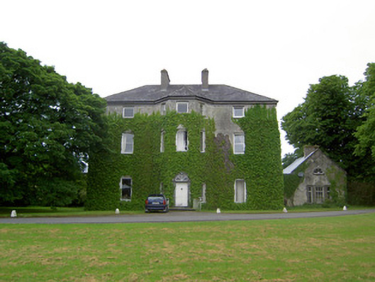 Anne's Giftcountry house · 1378 yd
 Enclosure in AnnesgiftEnclosure · 1745 yd
 Kilknockan HillMountain / peak · 1.6 mi
 European YewEuropean Yew · 2.3 mi
 East GateMemorial · 2.3 mi
 Grove WoodForest · 3.4 mi
 Eagle HillMountain / peak · 5.0 mi
 Raheen fortCastle, ringwork and bailey · 1563 yd
Other information
Photo: Credit not shown in the picture search · Rights wording not checked; contact us if this picture should be removed