What is recorded here
On low gentle rise in undulating terrain, under tillage. Stream flowing N-W c. 50m to S. Ringfort (TS062-113----) located on a low rise c. 120m to NW. Monument was levelled c. 25 years ago and is not visible at ground level. Monument is depicted on the 1903-04 OS 6-inch map as a rougly circular enclosure (diam. c. 40m) with an ext. fosse from W-N-NE.
Compiled by: Jean Farrelly
Date of upload: 26 August 2011
The monument record does not grant public access. Check the route and ask the landowner before entering private land.
- What survives
- Recorded monument
Places near here
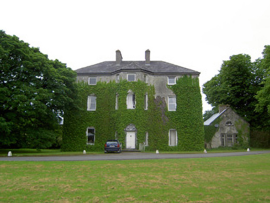 Anne's Giftcountry house · 624 yd
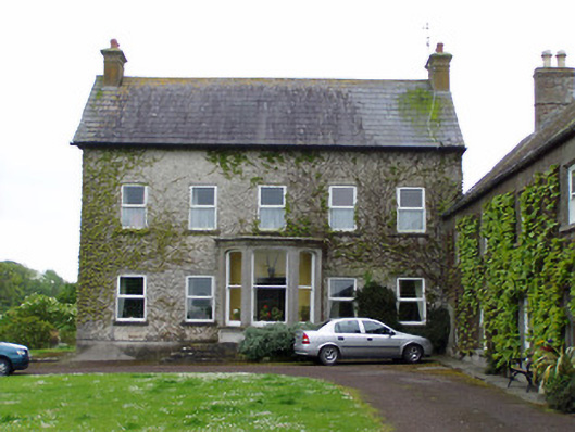 Rathcoole Castlehouse · 713 yd
 IndicatedCastle, motte · 736 yd
 Enclosure in AnnesgiftEnclosure · 923 yd
 CastleCastle, ringwork · 1133 yd
 RathavinFairy fort / earthen ringfort · 1.0 mi
 Kilknockan HillMountain / peak · 1.8 mi
 European YewEuropean Yew · 2.0 mi
 East GateMemorial · 2.1 mi
 Grove WoodForest · 3.1 mi
 Ballinure HillMountain / peak · 5.5 mi
 Rathcool Church (in ruins)Church · 977 yd