
What is recorded here
On gradual NE-facing slope in gently undulating terrain. Described in the Civil Survey (1654-6) as having 'a small castle wanting repaire & few cabbins' under the proprietorship of Nicholas Everard of Fethard in 1640 though 'possest in 1640 by Thomas Henes of Fethard Burgess at ye rent of £20 p anum by lease whereof twenty five yeares is unexpired' (Simington 1931, vol. 1, 208). Aerial photographs taken in 1966 (CUCAP APG 52), 1968 (CUCAP AVS 54), 1969 (CUCAP AYO 70) and 1971 (CUCAP BGK 65) show a complex of earthworks extending c. 400m beyond Barrettstown tower house (TS070-035001-) to S and W. These plots and trackways are the remains of settlement likely to be associated with the tower house which dates from the 15th/16th century. Since 1971 these earthworks have been levelled and are not visible at ground level.
Compiled by: Jean Farrelly
Date of upload: 26 August 2011
The monument record does not grant public access. Check the route and ask the landowner before entering private land.
- What survives
- Recorded monument
Places near here
 Barrettstown CastleCastle · 144 yd
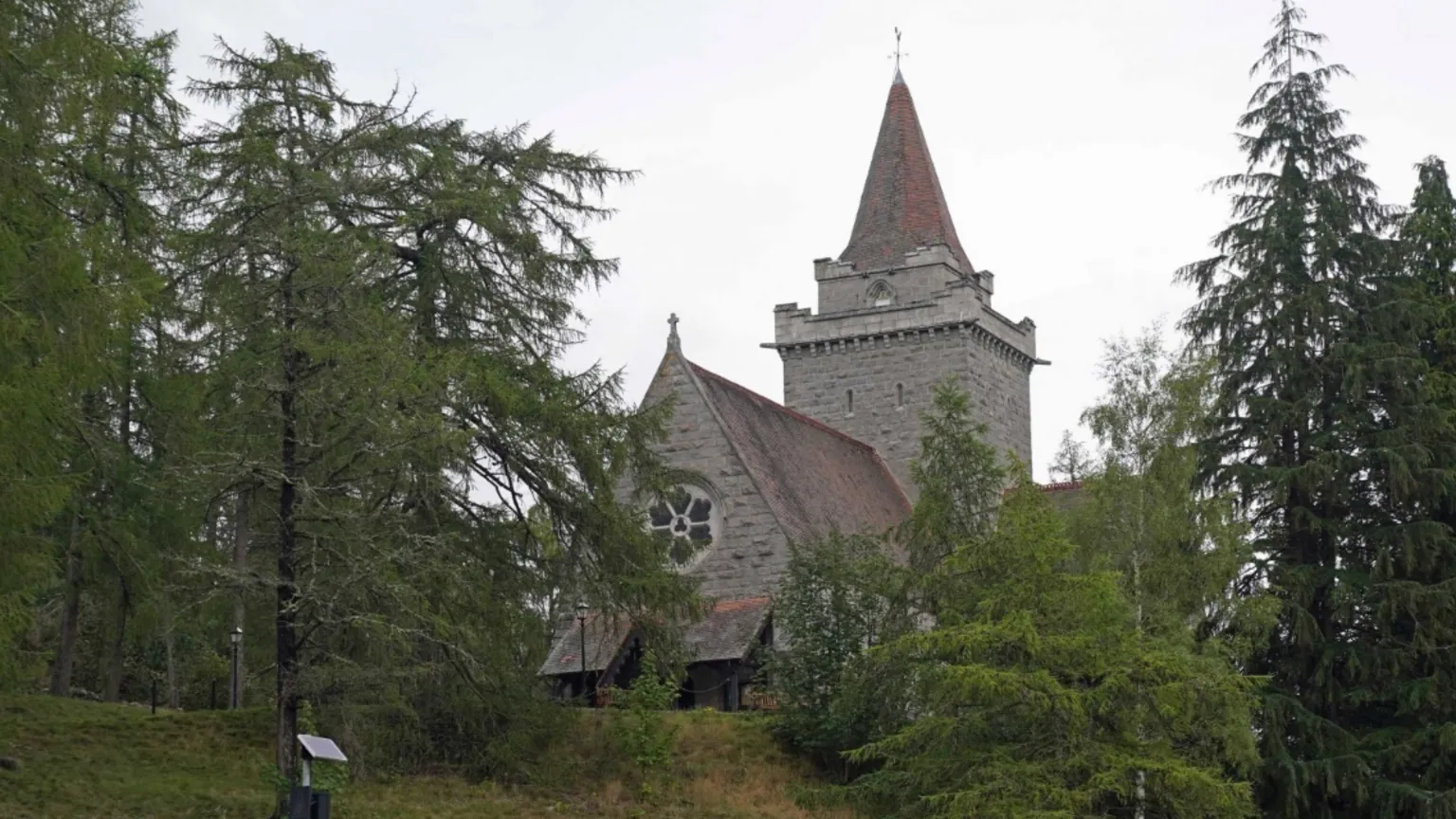 Redcity Church (in ruins)Church · 1113 yd
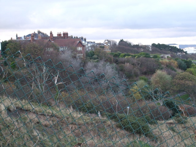 former site of a Ring FortArchaeological place · 1470 yd
 Derryluskan Househouse · 1.1 mi
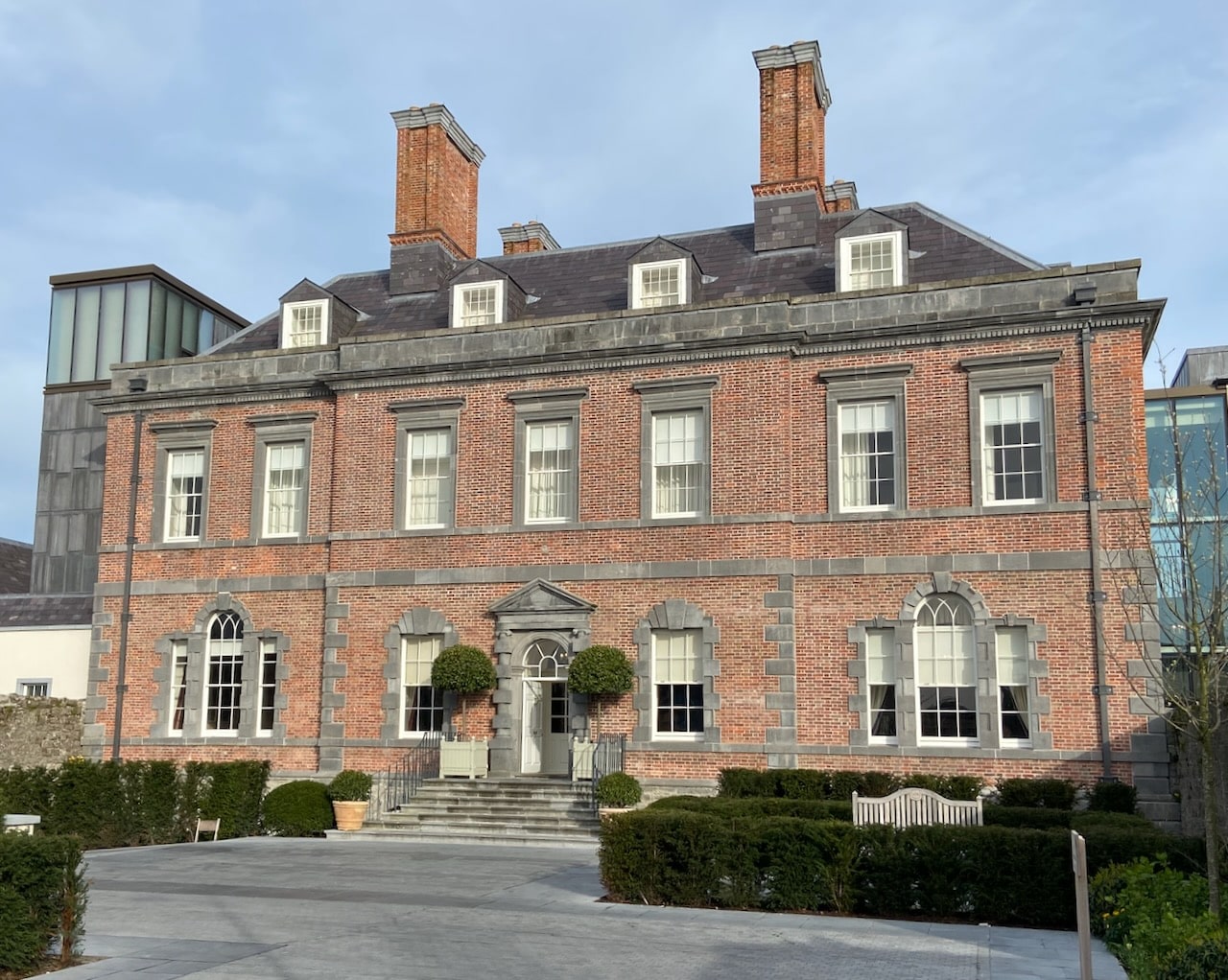 Enclosure in RedcityEnclosure · 1.2 mi
 Rathdrum Castle (in ruins)Castle, tower house · 1.4 mi
 European YewEuropean Yew · 1.6 mi
 East GateMemorial · 1.7 mi
 Grove WoodForest · 2.2 mi
 Kilknockan HillMountain / peak · 2.3 mi
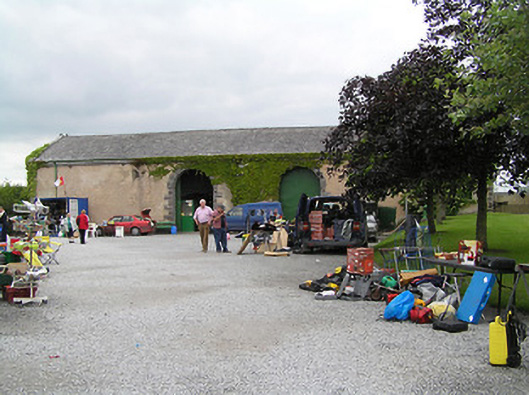 Fethard Folk Farm and Transport Museumstore/warehouse · 1.2 mi
 Redcity FortFairy fort / earthen ringfort · 1.2 mi
Other information
Photo: Credit not shown in the picture search · Rights wording not checked; contact us if this picture should be removed