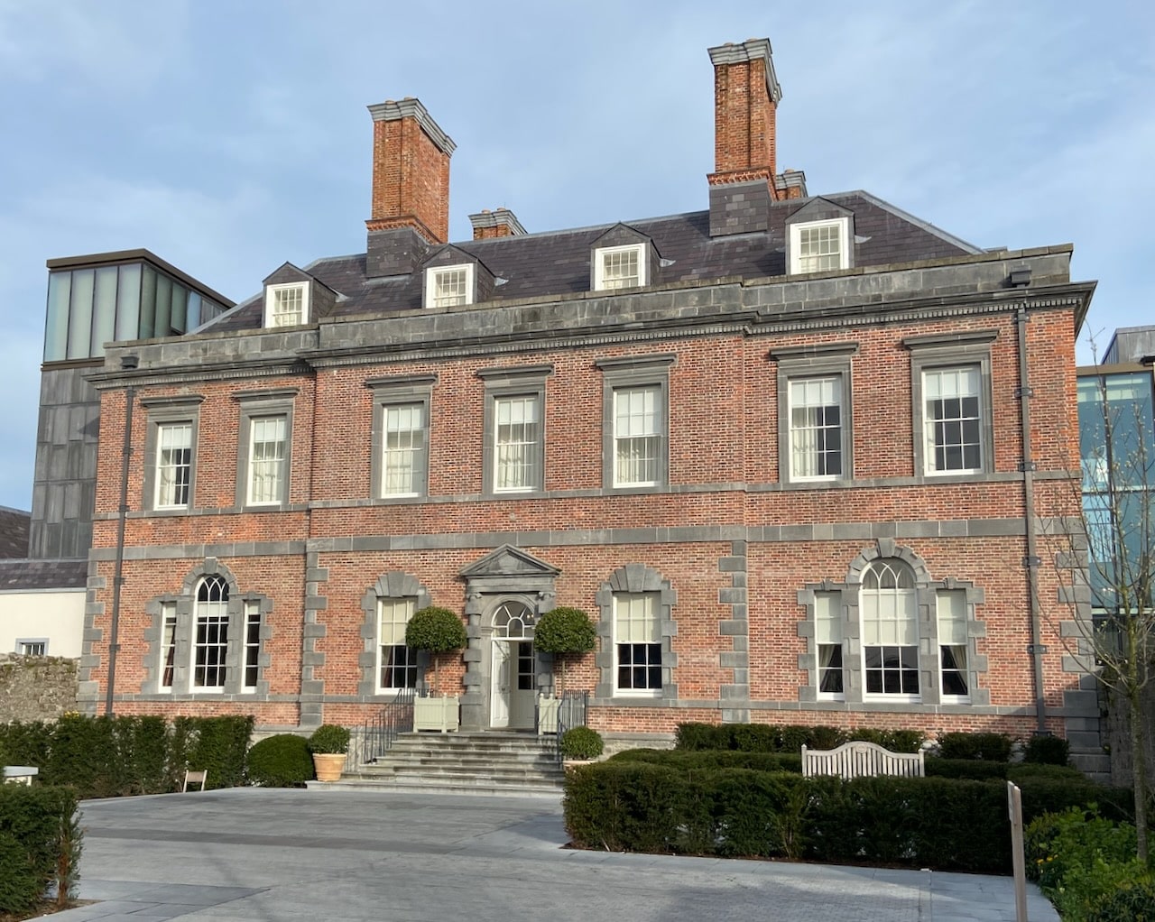
What is recorded here
In pasture, on N-facing slope. Panoramic views SSW-N-SSE including Fethard. Circular area (dims. 31m N-S; 32m E-W) defined by remains of low earth and stone bank (Wth 4.5m; int. H 0.3m; ext. H 0.55m) SSE-W-NNW. Bank covered in furze and eroded intermittently by cattle. Trace of levelled bank NNW-E-SSE. External fosse (basal Wth 2m; overall Wth 8.5m; D 0.25m) SSE-NNW. Interior slopes down gently to N with prevalent slope and is incorporated into rest of field as pasture. Field boundary depicted on latest edition OS six-inch map to E and S removed. Ringfort (TS070-069----) located 150m to ENE.
Compiled by: Jean Farrelly
Date of upload: 26 August 2011
The monument record does not grant public access. Check the route and ask the landowner before entering private land.
- What survives
- Recorded monument
Places near here
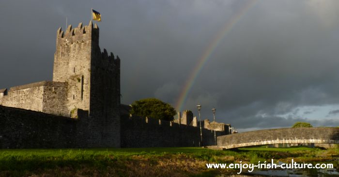 Redcity FortFairy fort / earthen ringfort · 168 yd
 Newtown Househouse · 1122 yd
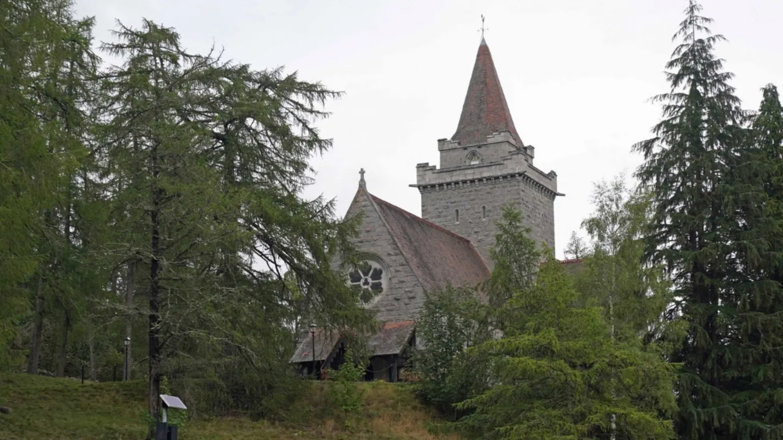 Redcity Church (in ruins)Church · 1185 yd
 (Site of) Killerk CastleCastle, unclassified · 1245 yd
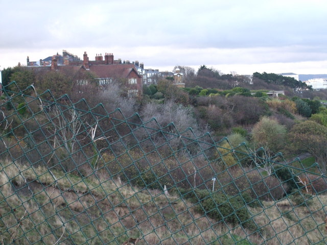 former site of a Ring FortArchaeological place · 1600 yd
 European YewEuropean Yew · 1.0 mi
 Edmond's CastleCastle · 1.1 mi
 Grove WoodForest · 1.1 mi
 East GateMemorial · 1.1 mi
 Kilknockan HillMountain / peak · 2.2 mi
 CarrigdotiaMountain / peak · 4.8 mi
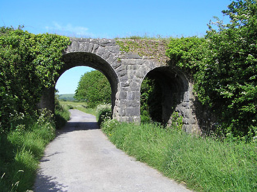 bridgebridge · 1358 yd
Other information
Photo: Credit not shown in the picture search · Rights wording not checked; contact us if this picture should be removed