
What is recorded here
From the National Monuments Service (Archaeological Survey of Ireland) record TS070-071003
Places near here
Photo credits
- Maker not stated on source page, en.wikipedia.org
- Maker not stated on source page, account.travel
- Maker not stated on source page, ru.pinterest.com
- National Inventory of Architectural Heritage
- Algirdas at Lithuanian Wikipedia, Wikimedia Commons · Public domain
- Maker not stated on source page, www.alamy.com
- Maker not stated on source page, au.pinterest.com
- Golfing in Ireland; photographer not stated, Source publisher
- Maker not stated on source page, arc.advisor.travel
 Church in Killerk NorthChurch · 411 yd
Explorer Tom Church in Killerk North was used for smuggling gin disguised as holy water, according to local gossip. Erc's Church…
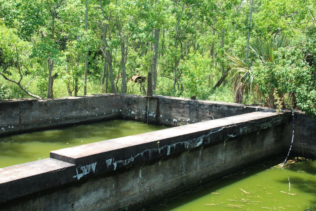 Enclosure in JossestownEnclosure · 673 yd
Explorer Tom Enclosure in Jossestown has a hidden tunnel to the pub, allegedly, but nobody can prove it because the trackway keeps…
 Fairy fort / earthen ringfort in JossestownFairy fort / earthen ringfort · 737 yd
Explorer Tom Fairy fort / earthen ringfort in Jossestown has a limekiln attached to it, which makes me think a giant used to bake…
 Newtown HouseHouse · 953 yd
Explorer Tom Newtown House has very strong opinions about modern buildings popping up nearby. It’s got those fine limestone steps…
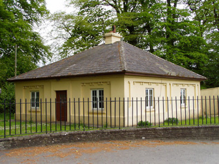 LakefieldGate lodge · 1326 yd
Explorer Tom Lakefield gate lodge in Ballygambon, County Tipperary looks like it’s guarding a secret about that dance party that…
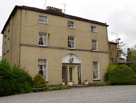 Clonacody HouseCountry house · 1358 yd
Explorer Tom Clonacody House is so grand it makes you feel small, but I bet the map makers got the location slightly wrong because…
 Pedunculate Oak1579 yd
Explorer Tom This third Pedunculate Oak in County Tipperary has a retirement plan involving sitting still until the ground gives up…
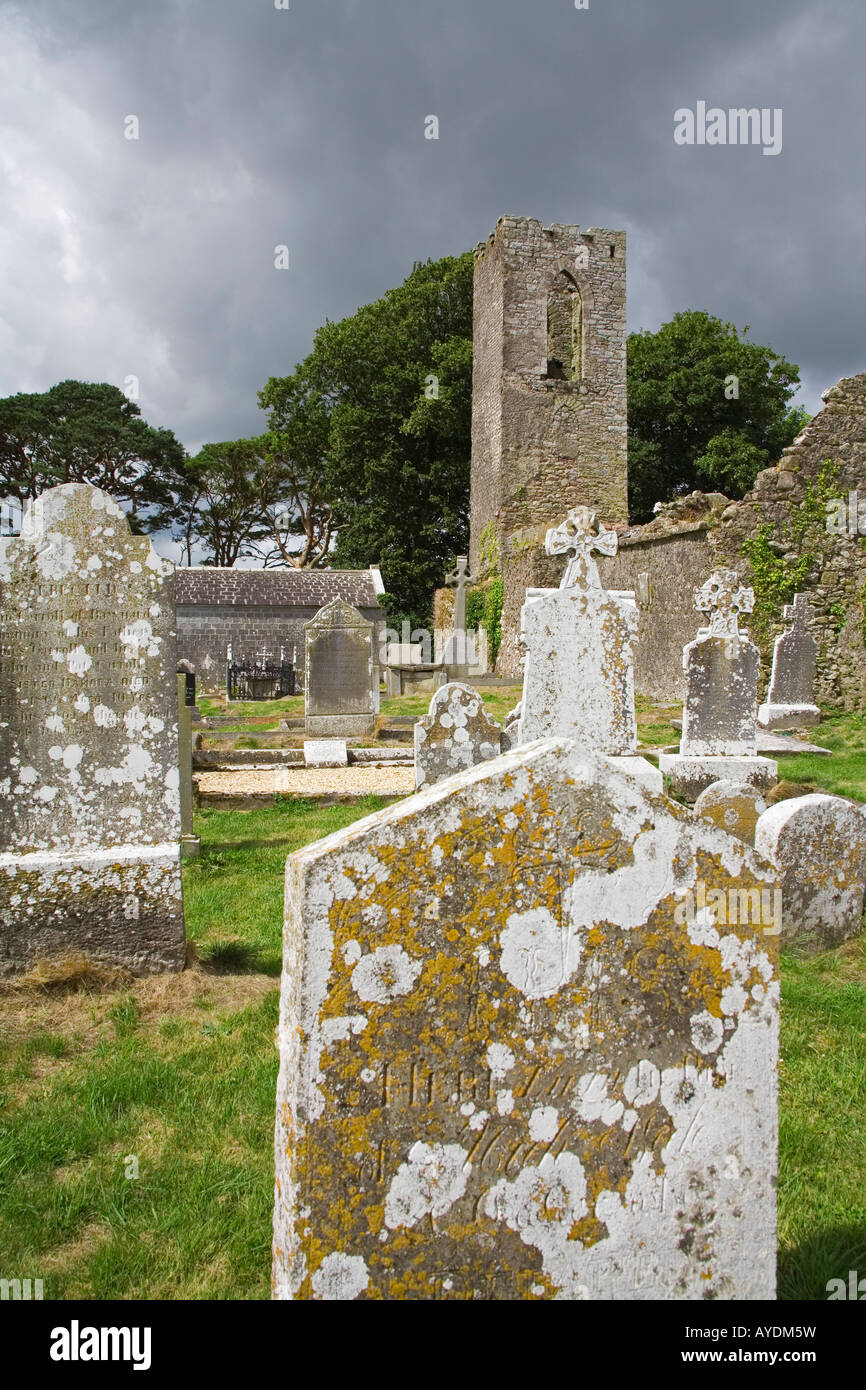 Graveyard in RathdrumGraveyard · 1648 yd
Explorer Tom Graveyard in Rathdrum is where the seagulls hold their weekly board meetings to discuss the quality of local bread…
 CastleCastle, unclassified · 1.1 mi
Explorer Tom Castle in Clonacody would describe itself to a stranger as 'a bit of a mess with some historical baggage attached'. It…
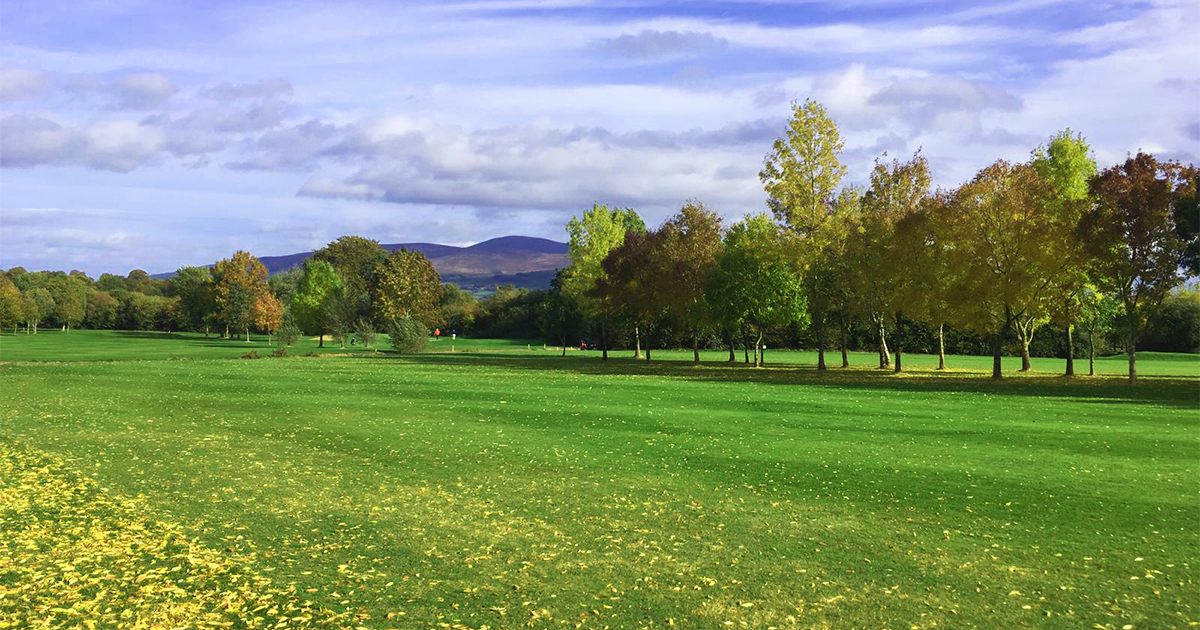 Slievenamon Golf ClubGolf course · 1.4 mi
 Site of Barrettstown CastleCastle, tower house · 1.6 mi
Explorer Tom Site of Barrettstown Castle hosted a dance that went so far, people are still tripping. It’s just stone walls now, but…
 Lisronagh CemeteryGraveyard · 2.0 mi
Explorer Tom Lisronagh Cemetery would survive a zombie attack by simply closing its gate and hoping nobody remembers where the exit…
More archaeology and monuments in County Tipperary · All of County Tipperary

What do you know about this place?Tap to add a comment or ask a question