
What is recorded here
Killerk Castle belonged to Nicholas Everard of Fethard when it was already an old broken castle, and it remained a ruined wall-site through the mid-seventeenth century. The castle has vanished completely from the gentle south-west-facing pasture, leaving no visible trace behind. A field that once held a broken castle may still carry the shape of that loss, even when nothing remains to point at it.
The Civil Survey (1654-6) describes castles which are 'altogether downe onely the Walls [standing], Killerck castle [is] in like condition' (Simington 1931, vol. 1, 158) and records that 'Nicholas Everard of Fethard Esqr' was proprietor in 1640, when again the castle is described as 'an old broken castle' (ibid, 197). In pasture, on a gentle SW-facing slope. No visible surface trace. Depicted as site of Killerk Castle on the 1903-04 edition OS six-inch map, within W-side of enclosure (TS070-071002-).
Compiled by: Jean Farrelly
Date of upload: 26 August 2011
Killerk Castle was held by Nicholas Everard of Fethard in the mid-17th century. It is remembered as one of several castles described as ruined in the Civil Survey of 1654–5, reflecting the impact of the Confederate Wars on the region.
The monument record does not grant public access. Check the route and ask the landowner before entering private land.
- What survives
- Recorded monument
Places near here
 Enclosure in Jossestown,killerk NorthEnclosure · 511 yd
 Newtown Househouse · 953 yd
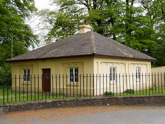 Lakefieldgate lodge · 1234 yd
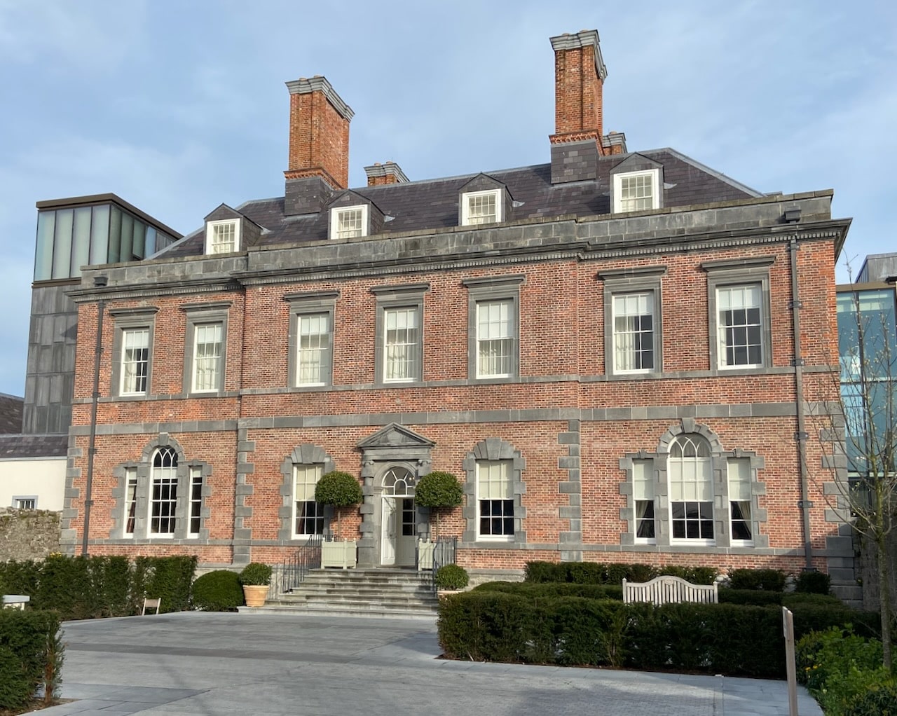 Enclosure in RedcityEnclosure · 1245 yd
 Rathdrum Castle (in ruins)Castle, tower house · 1464 yd
 Pedunculate OakPedunculate Oak · 1489 yd
 Grove WoodForest · 1.2 mi
 Barrettstown CastleCastle · 1.6 mi
 East GateMemorial · 1.7 mi
 Kilknockan HillMountain / peak · 2.8 mi
 CarrigdotiaMountain / peak · 4.7 mi
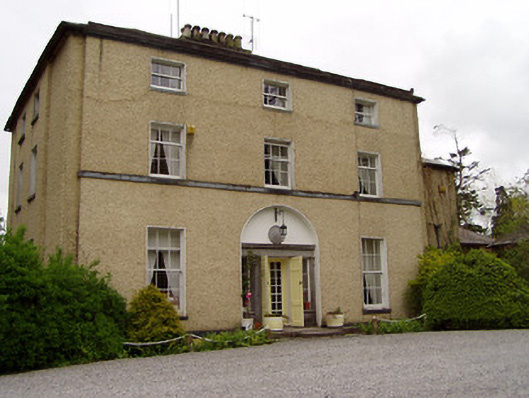 Clonacody Housecountry house · 1251 yd
Other information
Photo: Credit not shown in the picture search · Rights wording not checked; contact us if this picture should be removed