
What is recorded here
In pasture, on a gentle W-facing slope. Remains of roughly circular area (map diam. 15m) defined by slight traces of levelled bank reduced to scarp (Wth 3m; 1.35) well preserved ENE-E-S. Fosse (Wth 6.3m; D 1.1m) NE-E-SW and trace of in-filled fosse SW-W-N-NE. Intervening bank (Wth 6.2m; int. H 1.1m; ext. H 2.55m) incorporated into earth and stone field boundary ENE-E-S, which serves as townland division between Killerk North and Jossestown. Four separate depressions along SE exterior are disused quarries. Interior generally level, heavily overgrown and largely inaccessible due to recent dumping of fir trees. Cahill (1982) describes this monument as levelled. Enclosure (TS070-091----) located 150m to NNW and ringfort (TS070-094----) located 150m to SE.
Compiled by: Jean Farrelly
Date of upload: 26 August 2011
The monument record does not grant public access. Check the route and ask the landowner before entering private land.
- What survives
- Recorded monument
Places near here
 (Site of) Killerk CastleCastle, unclassified · 511 yd
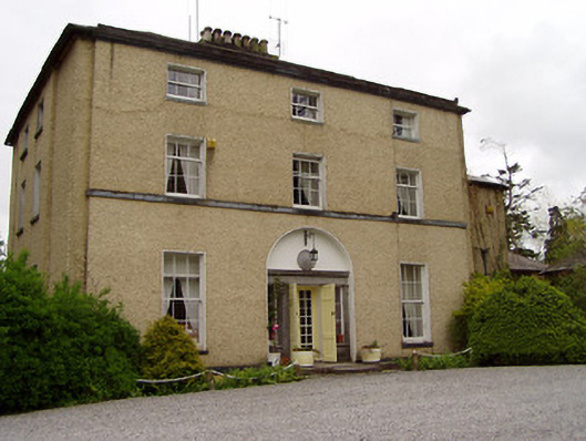 Clonacody Housecountry house · 888 yd
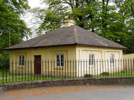 Lakefieldgate lodge · 1046 yd
 Pedunculate OakPedunculate Oak · 1302 yd
 Rathdrum Castle (in ruins)Castle, tower house · 1568 yd
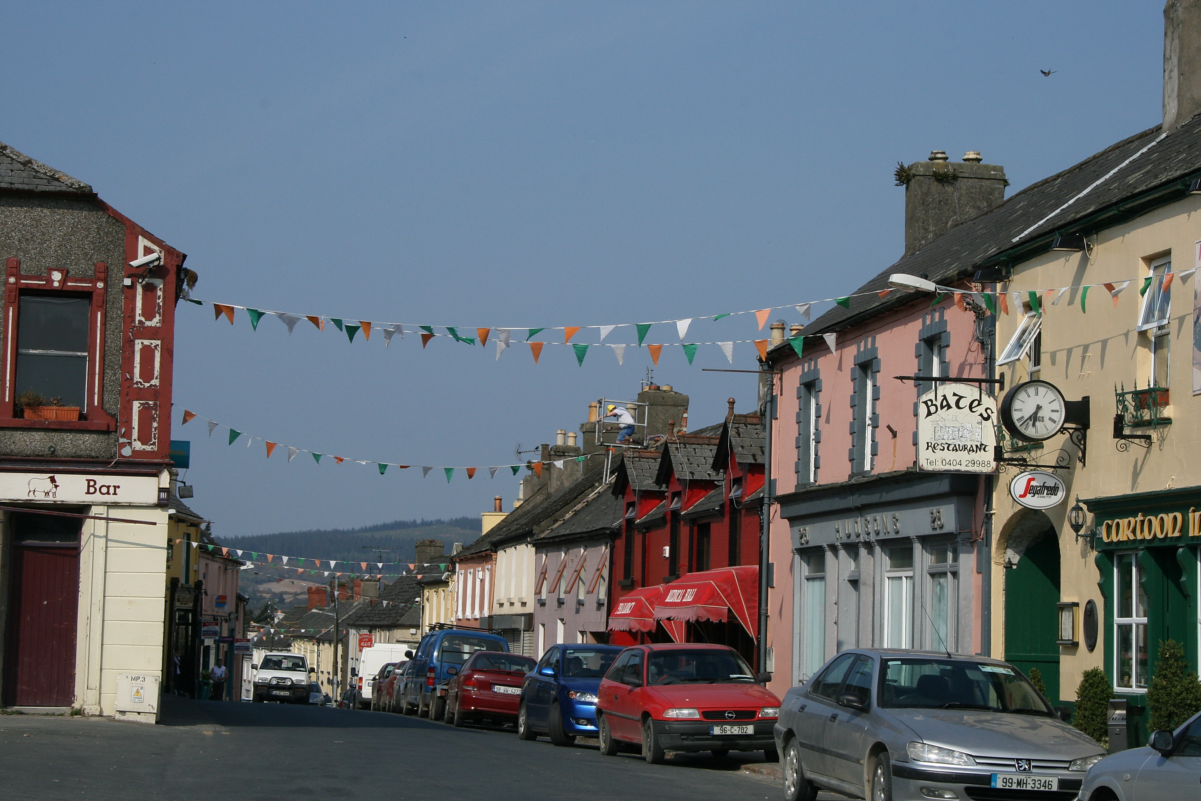 (Site of) TemplemurryChurch · 1664 yd
 Enclosure in BaptistgrangeEnclosure · 1751 yd
 Grove WoodForest · 1.3 mi
 East GateMemorial · 2.0 mi
 Kilknockan HillMountain / peak · 3.1 mi
 CarrigdotiaMountain / peak · 4.7 mi
 Newtown Househouse · 1265 yd
Other information
Photo: Credit not shown in the picture search · Rights wording not checked; contact us if this picture should be removed