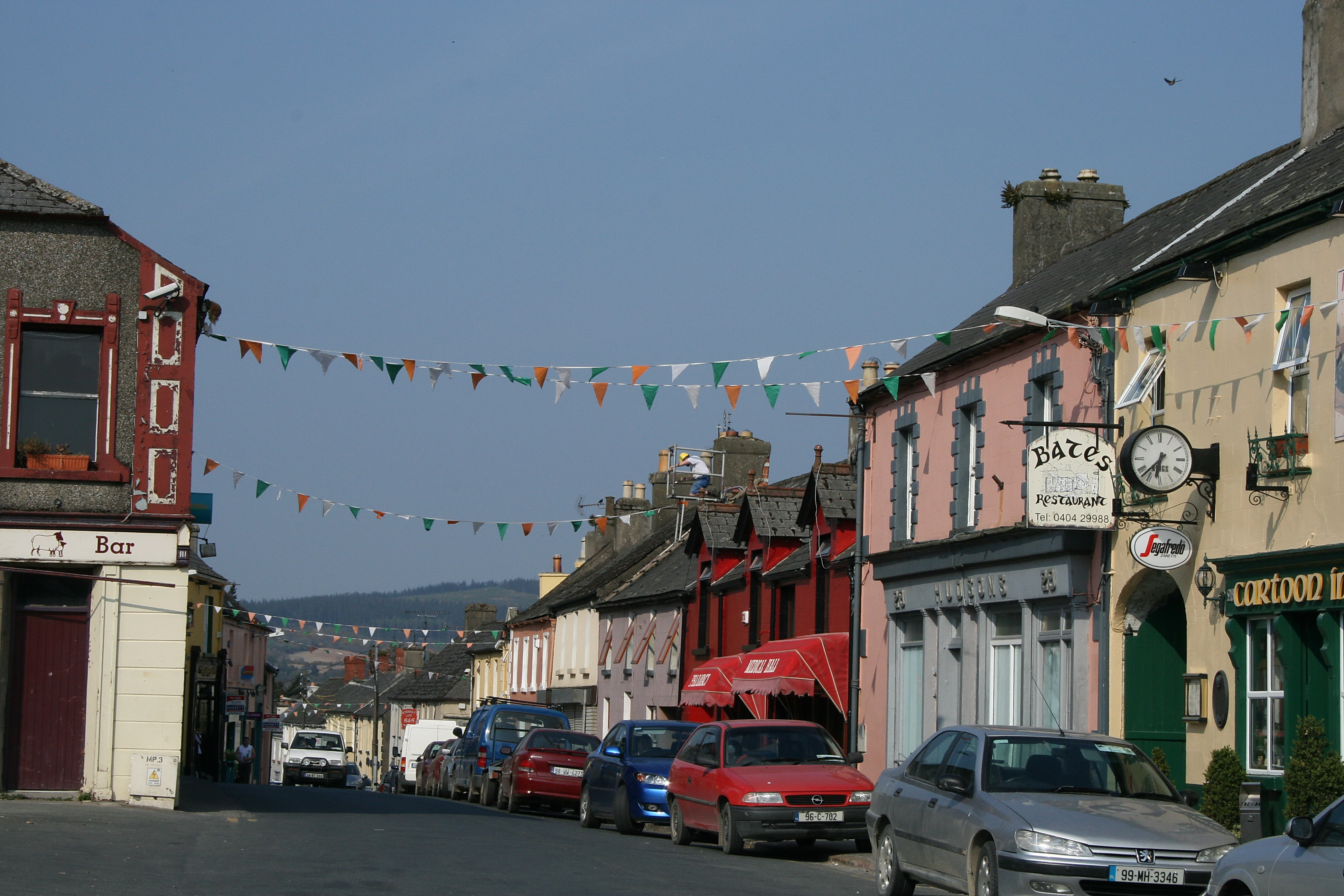
What is recorded here
On a gentle W-facing slope in undulating pasture. The church is enclosed by a sub-rectangular graveyard (TS070-088001-). It survives as rectangular foundations (dims. 6.55m N–S; 3.3m E–W), defined by an earth bank (S bank int. H 0.55m; ext. H 0.8m; Wth at top 1.1m; overall Wth 3.4m; W bank int. H 0.2m; ext. H 0.55m; Wth at top 1m; overall Wth 2.2m; N bank int. H 0.4m; ext. H 0.75m; Wth at top 1.3m; overall Wth 5m) with stone protruding. Two parallel banks, approx. 6m apart, run NE–SW from the NW and SW angles of the church, these banks (surviving max. L 5.5m E–W) appear to have been truncated by the road which runs roughly N–S 8m to the W of the church. There are the remains of a low earth-covered mound (L 12m N–S) with stone protruding along the base of the hedgerow in the field W of the road, possibly church material upcast during the road construction. An earthen bank (H 0.25-0.45m; Wth at top 1.5m; overall Wth 4.4m) runs NE–SW for 11.7m from the NE angle of the church foundations towards the N bank of the graveyard.
Compiled by: Jean Farrelly
Date of upload: 28 September 2011
The monument record does not grant public access. Check the route and ask the landowner before entering private land.
- What survives
- Recorded monument
Places near here
 Rathdrum Castle (in ruins)Castle, tower house · 360 yd
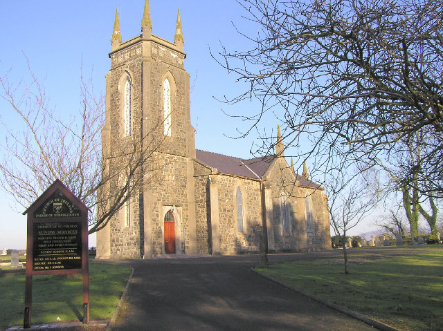 Colman Church (in ruins)Church · 1151 yd
 Enclosure in Colman (hennessy)Enclosure · 1153 yd
 former site of a Ring FortArchaeological place · 1352 yd
 (Site of) Killerk CastleCastle, unclassified · 1665 yd
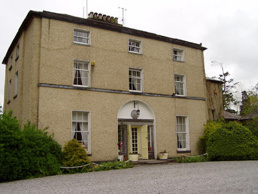 Clonacody Housecountry house · 1.4 mi
 Pedunculate OakPedunculate Oak · 1.7 mi
 Grove WoodForest · 2.1 mi
 East GateMemorial · 2.4 mi
 Kilknockan HillMountain / peak · 3.4 mi
 ToberamaherHoly well · 1547 yd
 Enclosure in Jossestown,killerk NorthEnclosure · 1664 yd
Other information
Photo: Credit not shown in the picture search · Rights wording not checked; contact us if this picture should be removed